
Pamir Plateau

Gallery
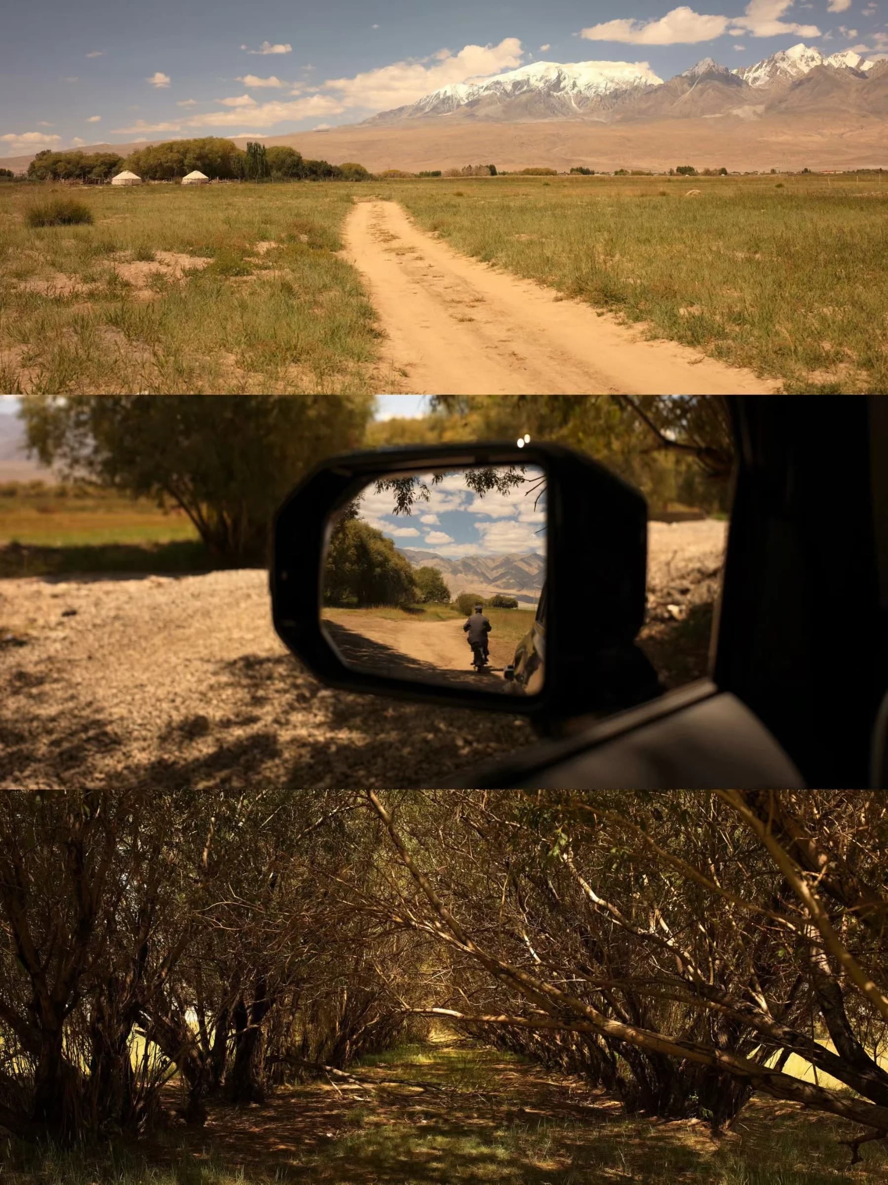
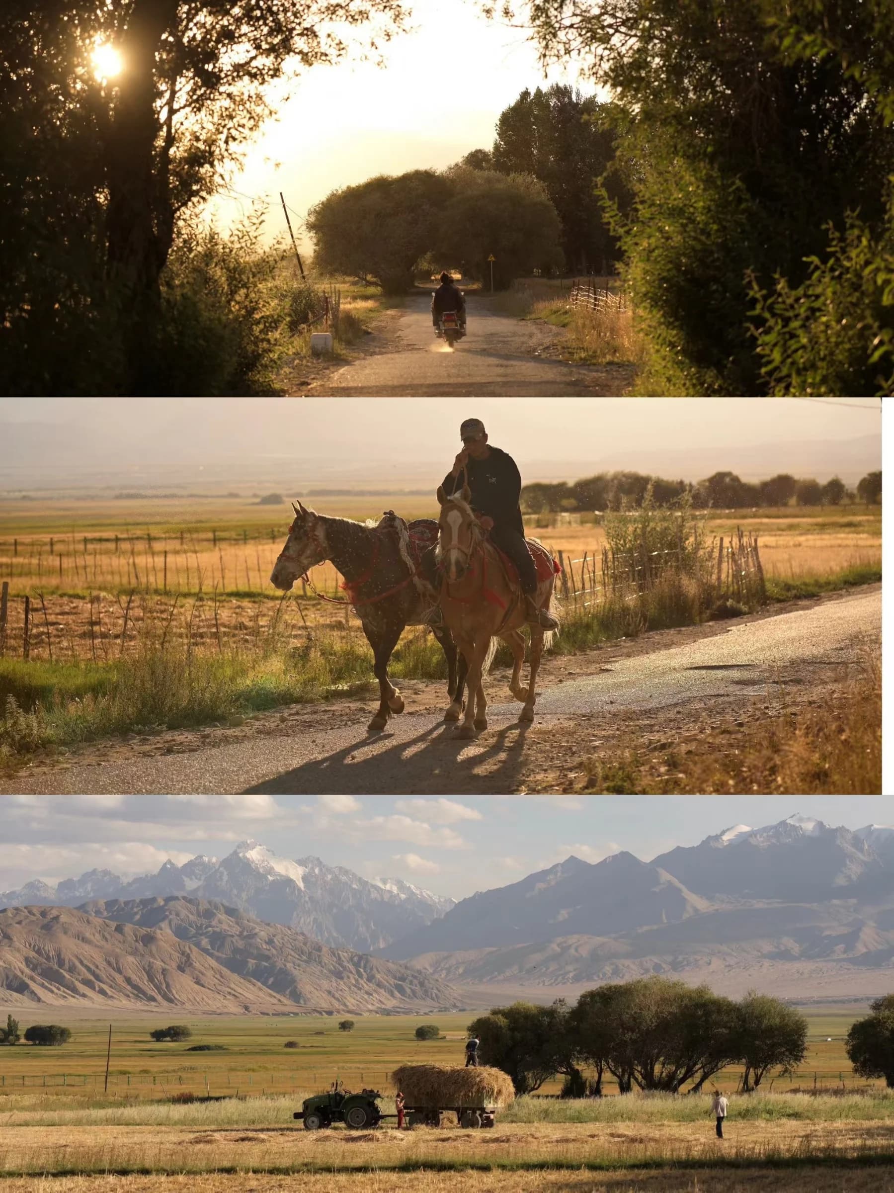
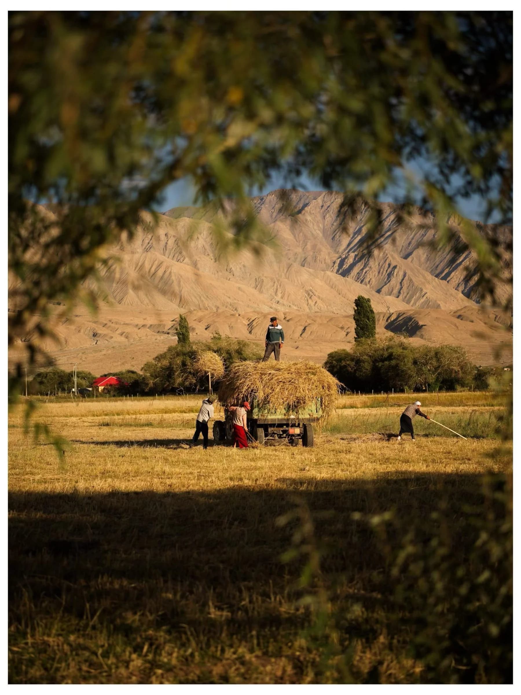
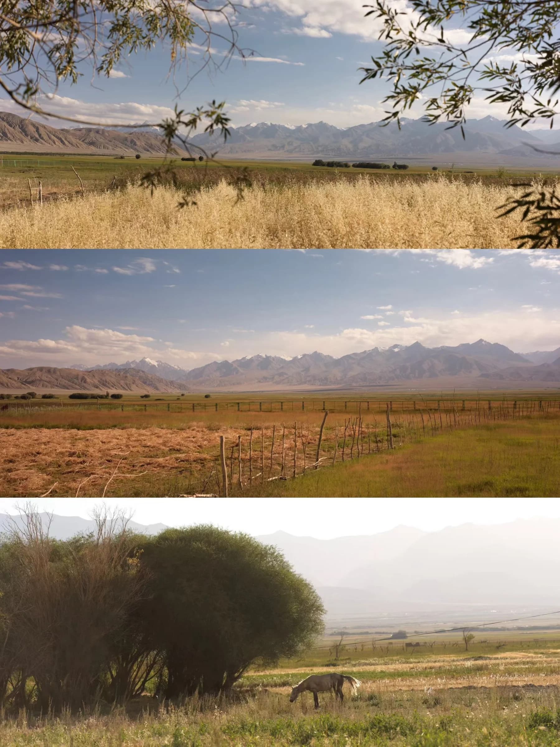
Pamir Plateau in photographs
01 / 08
Xinjiang
Pamir Plateau
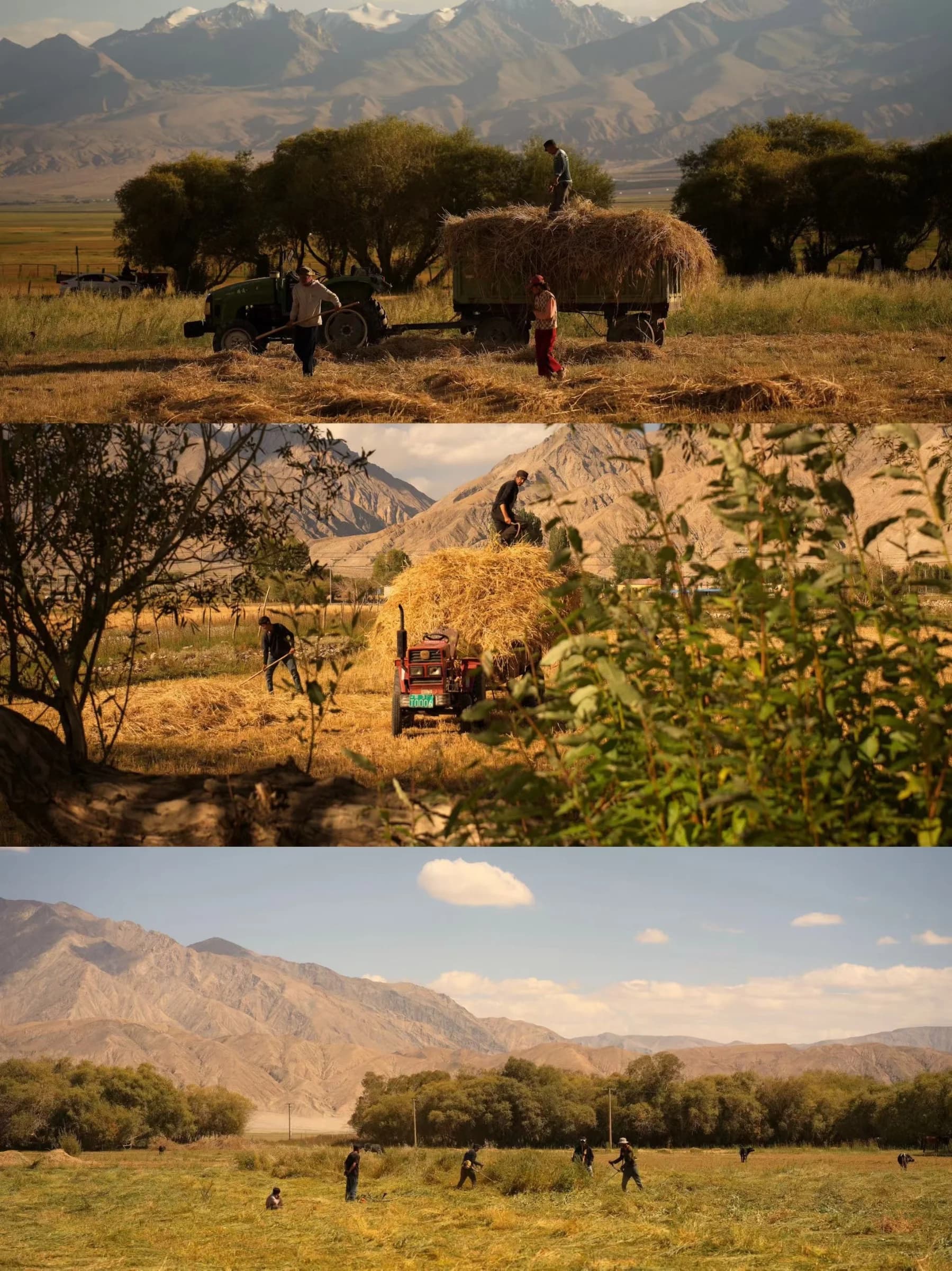
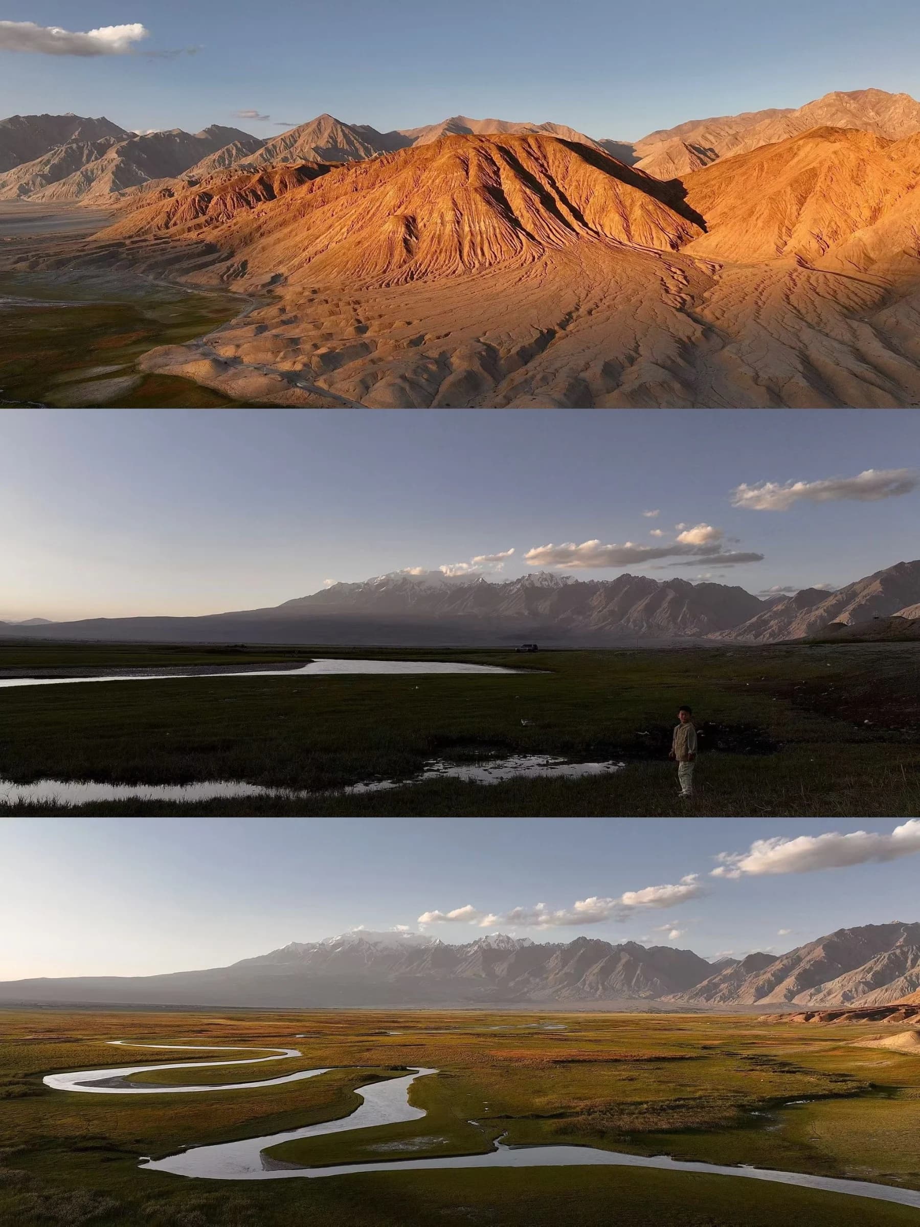
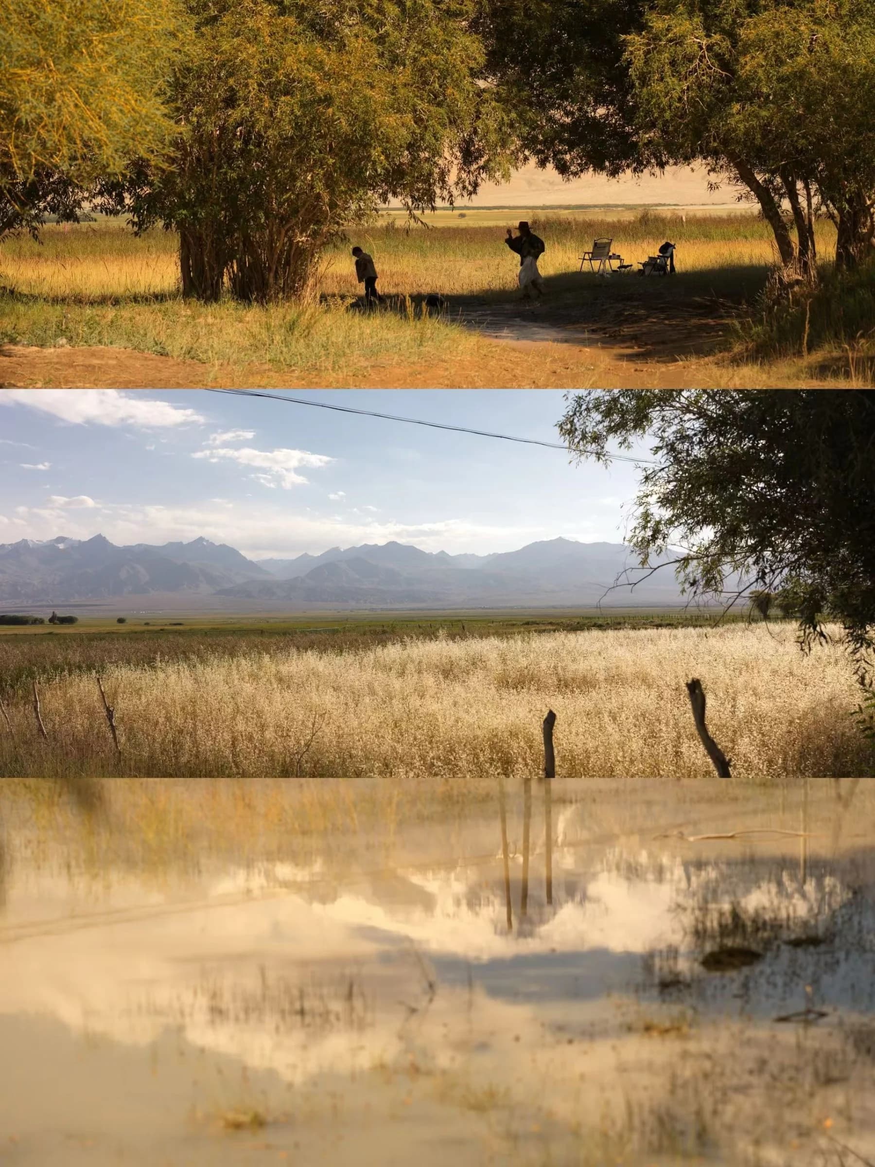
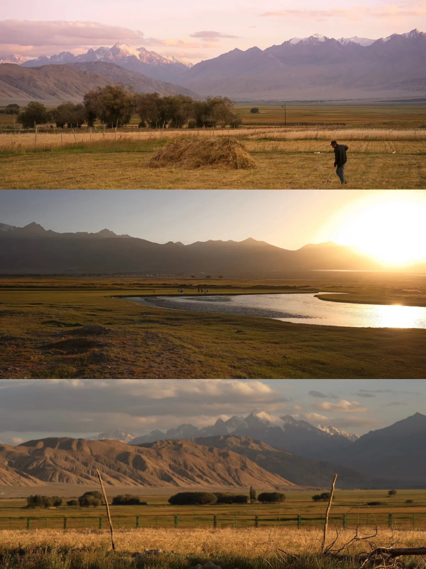
The eastern Pamirs are best understood as a landscape, not a single attraction. High lakes, mountain valleys and settlements sit along a road that leaves the Kashgar oasis for much higher ground. White Sand Lake, Karakul Lake and Muztagh Ata are familiar names, but the spaces between them reveal the scale of the landscape. This Place covers the Pamirs in Xinjiang on the Chinese side; it is not a guide to crossing an international border, travelling the M41 in Tajikistan or joining a mountain expedition.
Useful knowledge
Guides
What helps you understand or visit this place.
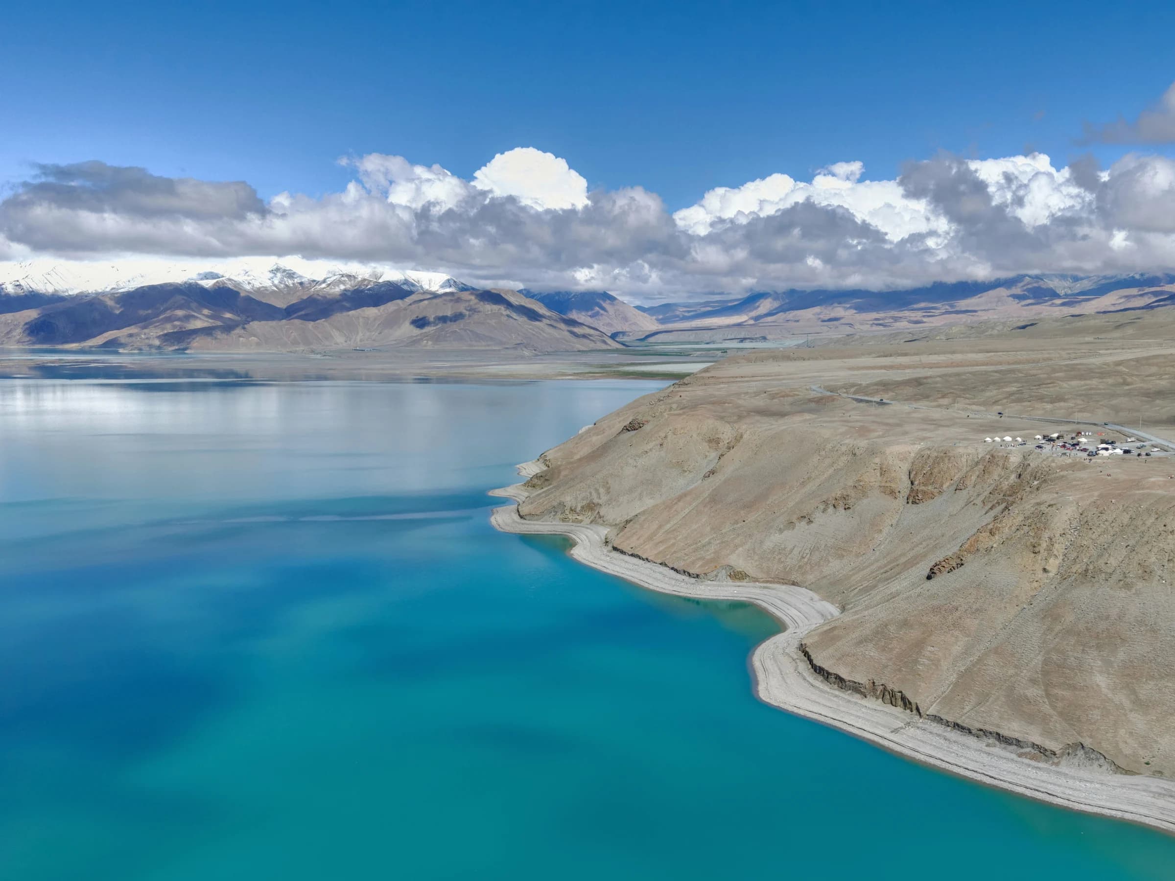
Kashgar to Tashkorgan: A Practical Pamir Road Guide
Plan the eastern Pamir road around altitude, route permissions, long vehicle days and the people travelling it—not a chain of photo stops.
Read the guide →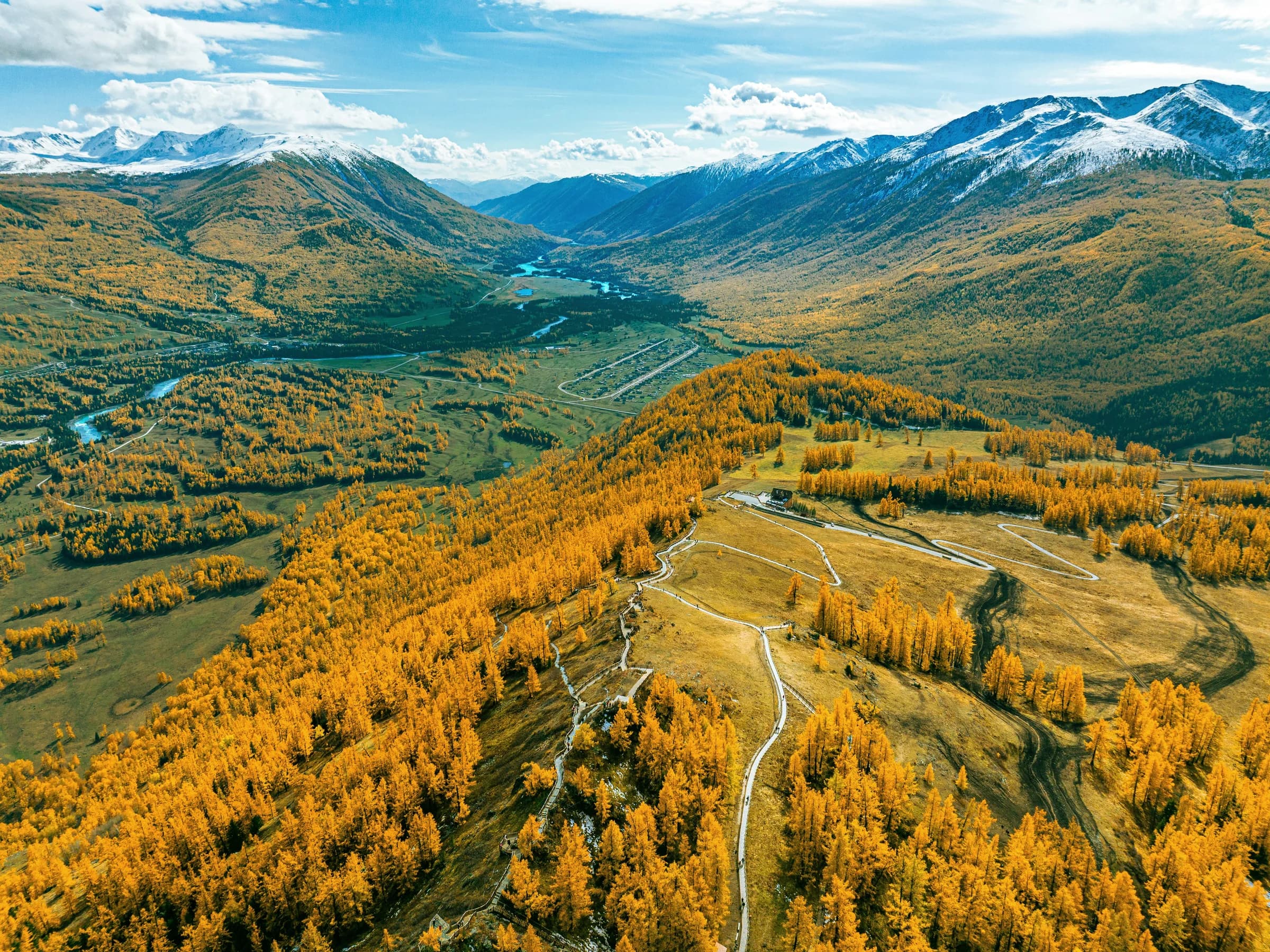
Xinjiang in September and October
What to pack, what to check and how to prepare for northern villages, city days and the high Pamir road in autumn.
Read the guide →