The honest version
Amu’s take
The central planning question is not how many lakes and viewpoints fit between Kashgar and Tashkorgan. It is how the journey handles altitude, permissions, time in the vehicle and the needs of the people travelling. A road stop, a glacier-viewing area and a Muztagh Ata expedition are different undertakings.
A good fit if…
- Travellers who want the eastern Pamir landscape with a realistic road plan
- Groups willing to skip an optional stop when health, weather or access changes
- Visitors who understand that fitness does not remove altitude risk
Not ideal if…
- Treating every named lake, road and glacier area as guaranteed
- Continuing higher simply to keep the sightseeing schedule intact
- Relying on a private vehicle or small oxygen can as the altitude plan
In this order
Suggested sequence
Start with the sleeping elevations
Tashkorgan is roughly 3,100 metres and Karakul Lake is around 3,600 metres, but approximate place figures do not identify a hotel or the highest side trip. Get the actual overnight and route profile.
Confirm route access
Separate national entry conditions from local access. Get a written answer for each passport, date, main-road segment and optional side trip before paying for non-refundable arrangements.
Understand the outward stops
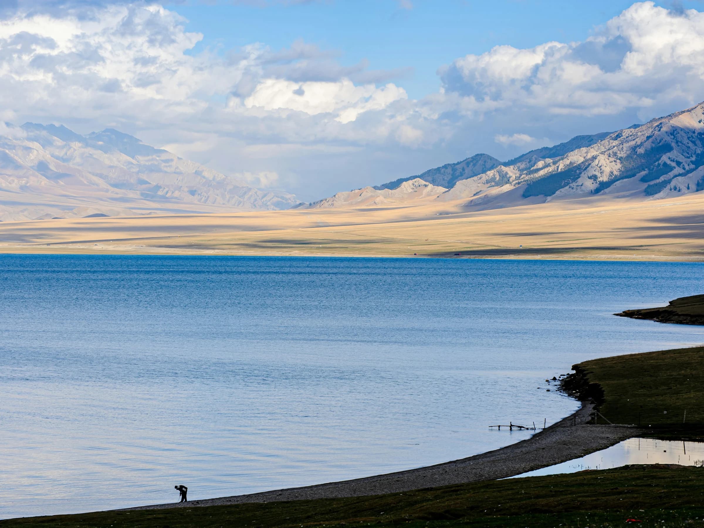
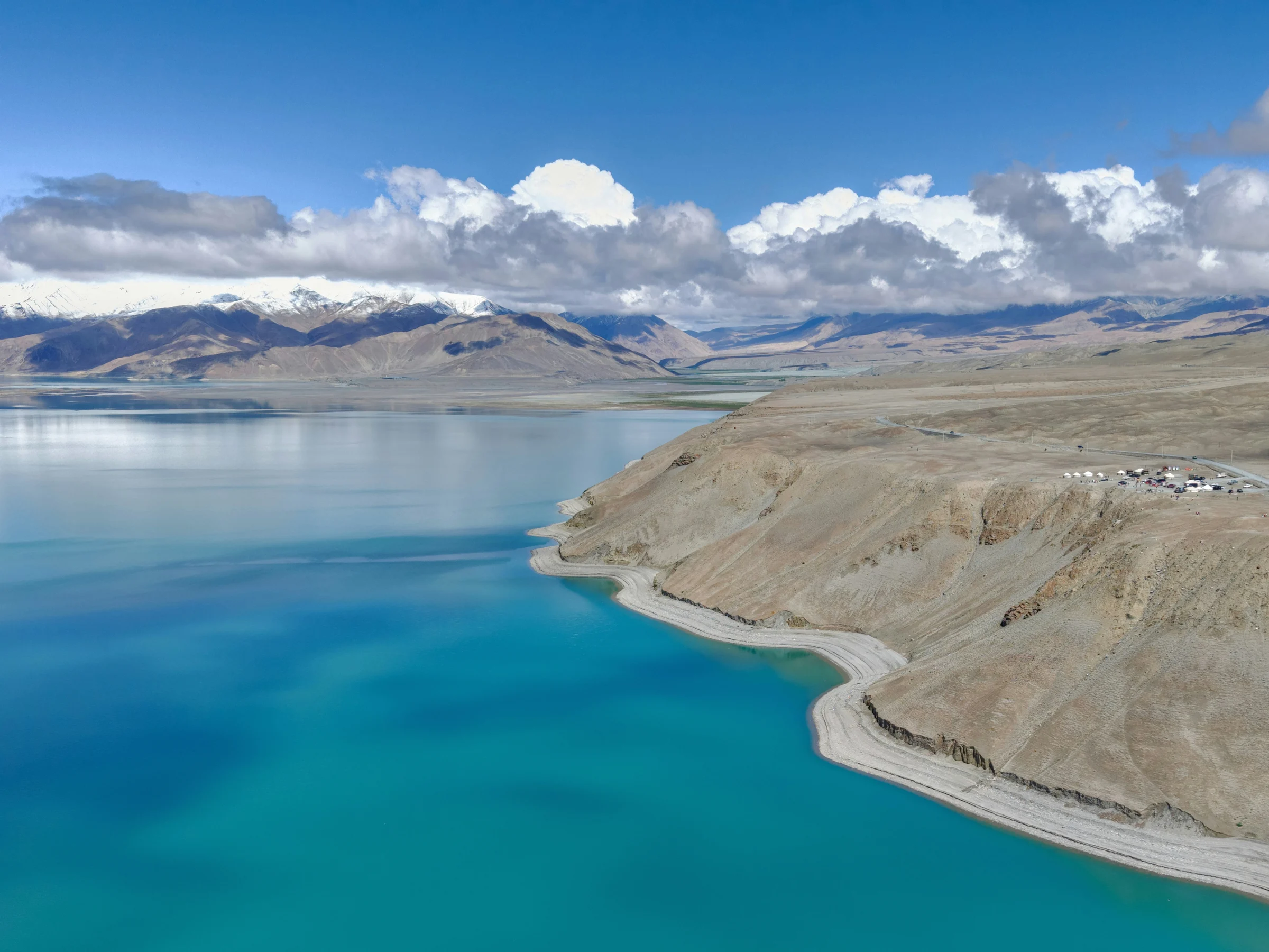
Oytagh, White Sand Lake and Karakul Lake are separate permitted stops. Ask for the exact access point, planned time, walking and facilities instead of treating each name as a pin on a map.
Give Tashkorgan a role
Allow the town, Stone City and nearby wetlands to create a slower part of the route when access and the group’s condition permit. Do not use every available hour for a higher detour.
Keep side trips optional
Panlong Road, Bandir Lake and any glacier-viewing area need their own access, weather and altitude checks. Approval for the main road is not automatic approval for every nearby route.
Protect the return
Keep margin for road changes and fixed connections. The plan must allow a stop to be skipped and a traveller to return lower when needed.
Protect the plan
Transport buffers
- Ask for door-to-door time, planned breaks, toilets, meals and daylight—not only map driving time.
- Keep optional roads and viewpoints outside the critical path to a flight.
- Build one lower or shorter alternative into the Tashkorgan days.
What to skip
- Any optional high point when a traveller is unwell
- Stopping outside authorised areas for a photograph
- Describing viewpoint access, Base Camp, glacier walking and an expedition as the same activity
Backup plan
The route should be able to drop a side trip, shorten time outside or return towards lower ground. Agree on the decision-maker, transport and communication chain before the group reaches the plateau. This is general information, not individual medical clearance.
Small details, large difference
Good to know
- Ask for every sleeping elevation and the highest mandatory and optional points.
- A daytime stop and an overnight elevation are different planning questions.
- Confirm access for the traveller’s passport, dates, main route and each side trip.
- Ask what a glacier visit means: viewpoint, visitor area, Base Camp, walking on ice and climbing are not interchangeable.
- Agree in advance who changes the route and how a traveller can return to lower ground.
- Check insurance against the actual altitude, activity and available medical response.
This Guide covers the eastern Pamirs in Xinjiang on the Chinese side. It does not cover an international border crossing, the M41 Pamir Highway in Tajikistan, glacier trekking or climbing Muztagh Ata. Tashkorgan should also have a role as a town and overnight base, not only a room between viewpoints.
Travel with Eudaimonia
Continue to the dated journey.
Departure dates, prices, final inclusions and booking details are maintained by Eudaimonia.
See the Southern Xinjiang journey