17 sections · Mountain to team etiquette
The complete Muztagh Ata field guide.
Read it front to back or use the index. Operational details change; every permit, service, route condition, and fee must be reconfirmed for the intended season.
Mountain
Mountain profile
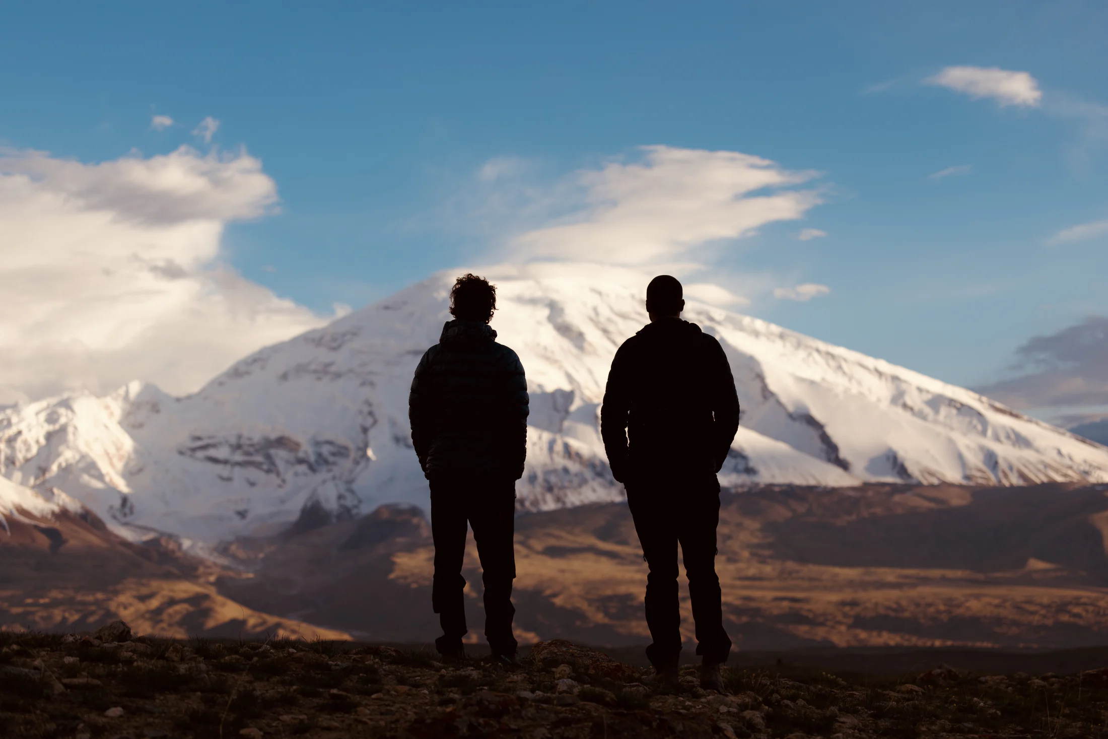
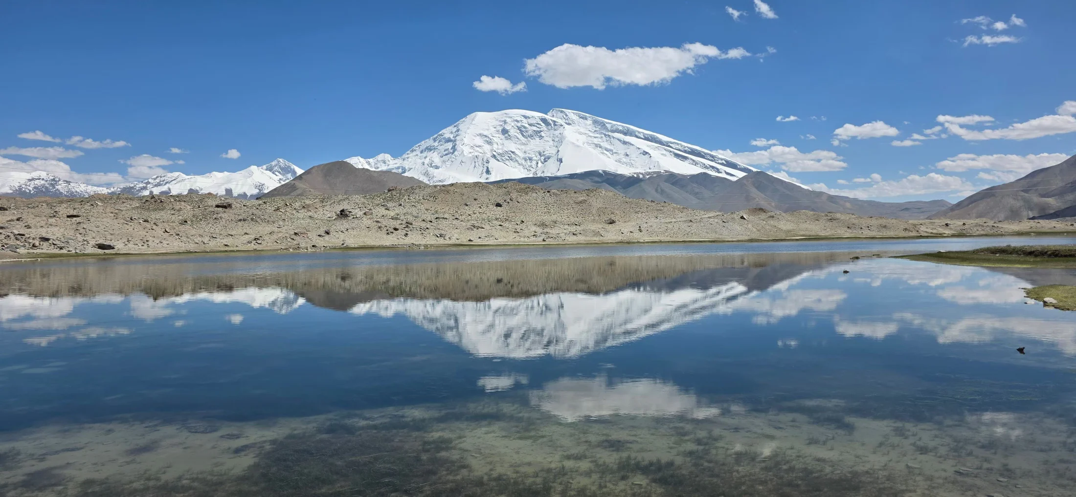
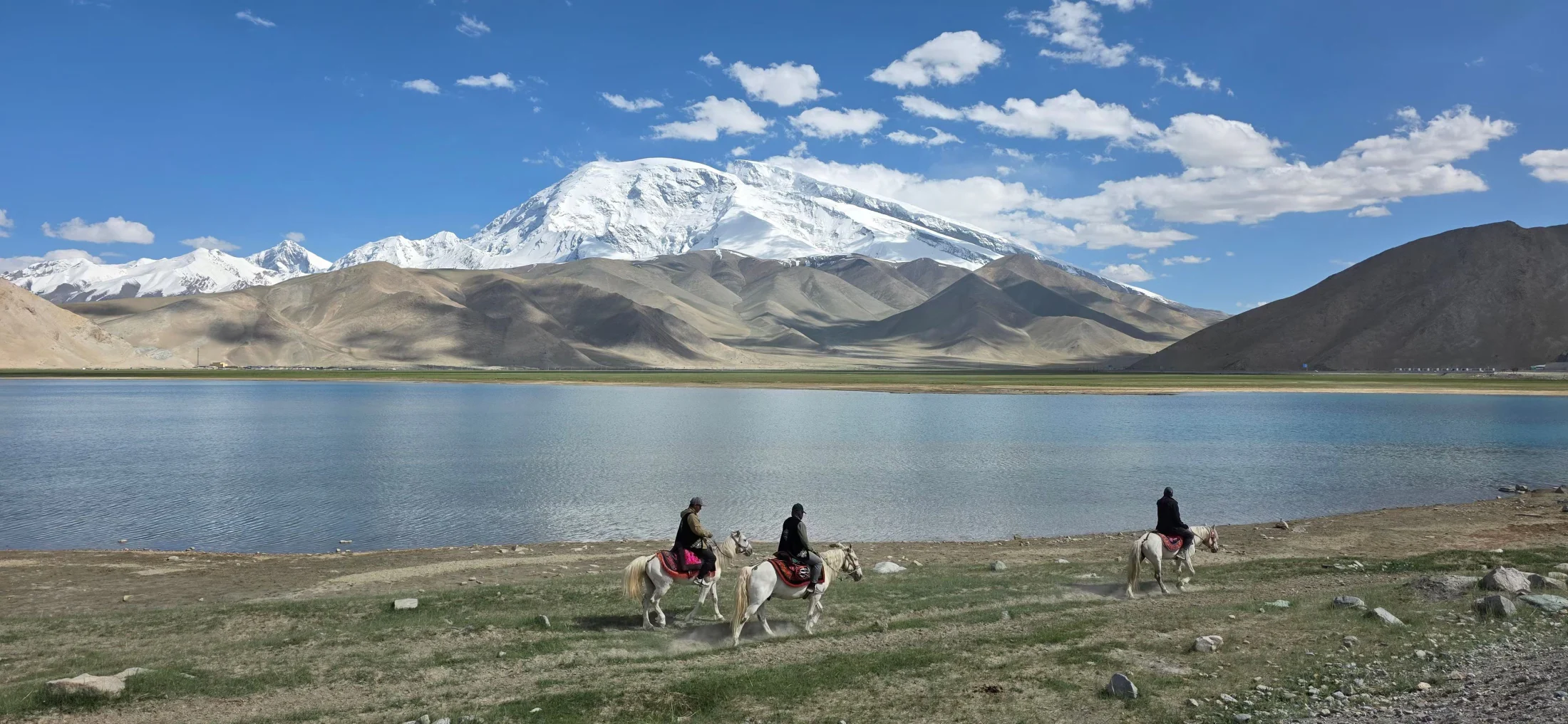
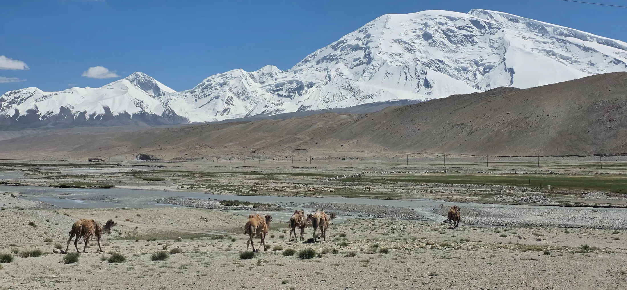
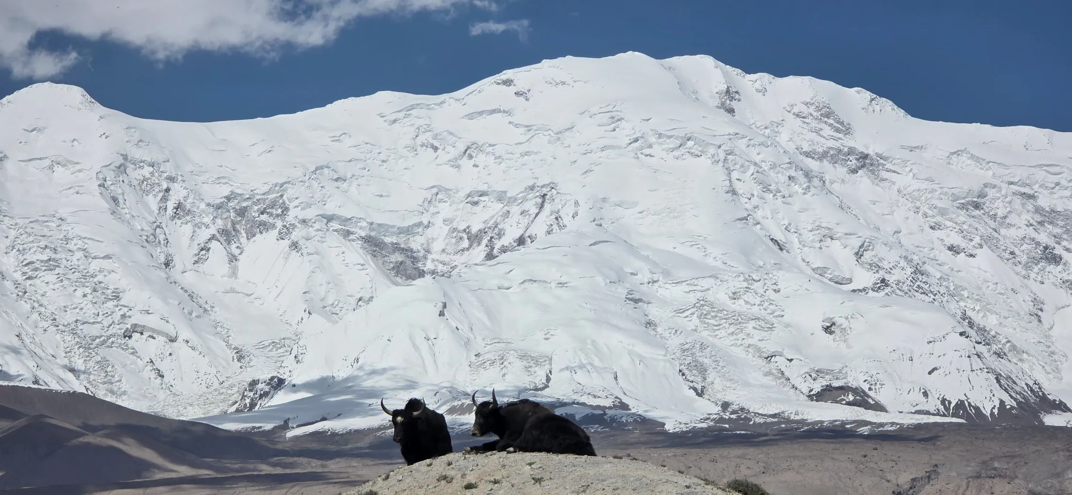
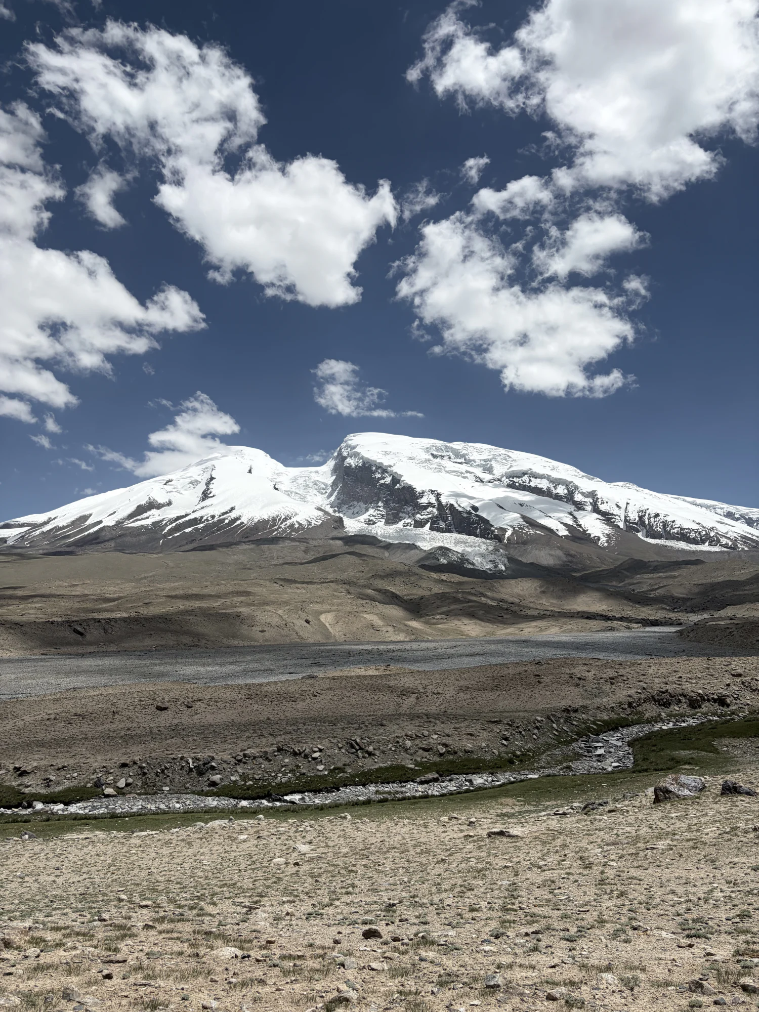
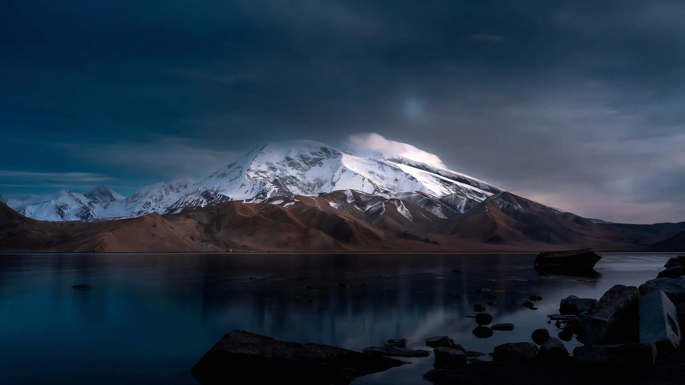
Muztagh Ata rises to 7,546 metres above the western edge of China’s Pamir landscape. Its broad white summit dominates the Subashi Valley and Karakul Lake, standing almost four vertical kilometres above the plateau. The name is commonly translated from Uyghur as “Father of Ice Mountains,” a fitting description for a massif wrapped in glaciers.
The mountain sits in a transition between the Pamirs and the Kunlun system, which is why maps do not always classify it in the same way. For expedition planning, the useful facts are simpler: the main approaches begin from Kashgar, the usual ascent is made from the western side, and the scale of the mountain is far more serious than its gentle profile first suggests.
Muztagh Ata is often chosen as a first 7,000-metre objective or as preparation for an 8,000-metre expedition. “Non-technical” describes the angle of the normal route—not the altitude, cold, glacier exposure, crevasses, or the judgment required to move safely for weeks in a remote border region.
Mountain
Climbing history
The first documented attempts date to the late nineteenth century. Sven Hedin explored the mountain in 1894, and further attempts followed in 1900 and 1904. In 1947, Eric Shipton and H. W. Tilman reached the broad upper dome but turned back in deep snow and severe cold before a confirmed summit.
The first successful ascent came in 1956, when a joint Chinese–Soviet team climbed the west ridge. Thirty-one members reached the summit, establishing the line that became the basis of today’s standard route. The ascent remains an important chapter in the early history of Chinese high-altitude mountaineering.
Muztagh Ata later became closely associated with ski mountaineering. Ned Gillette’s team completed a ski ascent and descent in 1980, and the mountain has since attracted both ski and snowshoe teams. More technical lines exist on other aspects, but the western routes remain the practical focus for most international expeditions.
Routes & camps
Routes
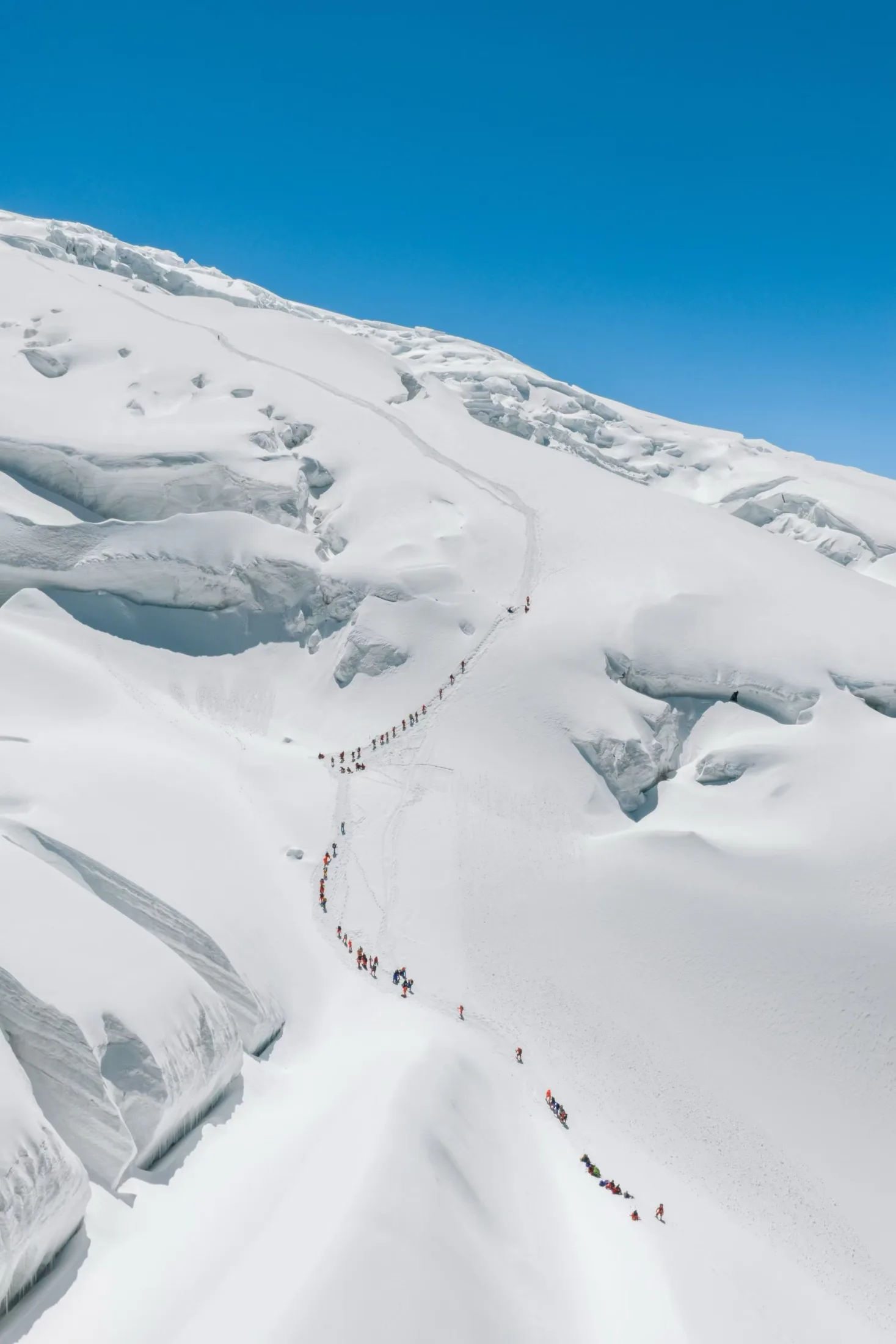
Two established options cross the western flank. The Classic Route follows the northern snow-and-glacier slope and is the line used by most supported expeditions. Its gradient is moderate, but the route still passes crevasses and broken glacier terrain where spacing, rope systems, and current local knowledge matter.
The Traditional Route lies farther south. It is longer, quieter, and often carries deeper snow, while generally presenting fewer crevasses. Skis or snowshoes can make travel more efficient, but the final route choice should be made with the expedition leader after reviewing snow cover, open crevasses, other teams, and the season’s operating plan.
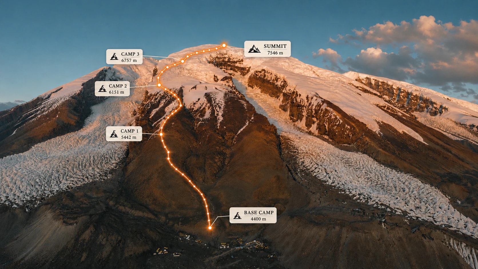
Reference profile of the western ascent line and principal high camps. Exact camp positions may change with snow, glacier, and operating conditions.
Routes & camps
Route profile
The western ascent gains height in long stages: Base Camp is normally around 4,400 metres, Camp 1 roughly 5,350–5,450 metres, Camp 2 around 6,100 metres, and the upper camp somewhere between about 6,450 and 6,800 metres before the 7,546-metre summit. These are approximate elevation bands, not fixed camp positions.
A long rise to Camp 2 leads into the more open upper mountain and the gradual summit dome. Snow cover, glacier movement, weather and the operating team’s decisions change the safe line each season, so use a current track and qualified leadership rather than historical waypoints.
Routes & camps
High camps
Camp 1 is normally established close to the snow line after a steep approach over rock and moraine, usually somewhere around 5,350–5,450 metres. The range is a reminder that camps are operational positions, not permanent addresses. Loads may reach this level with animal or porter support, or through carries made by the climbing team.
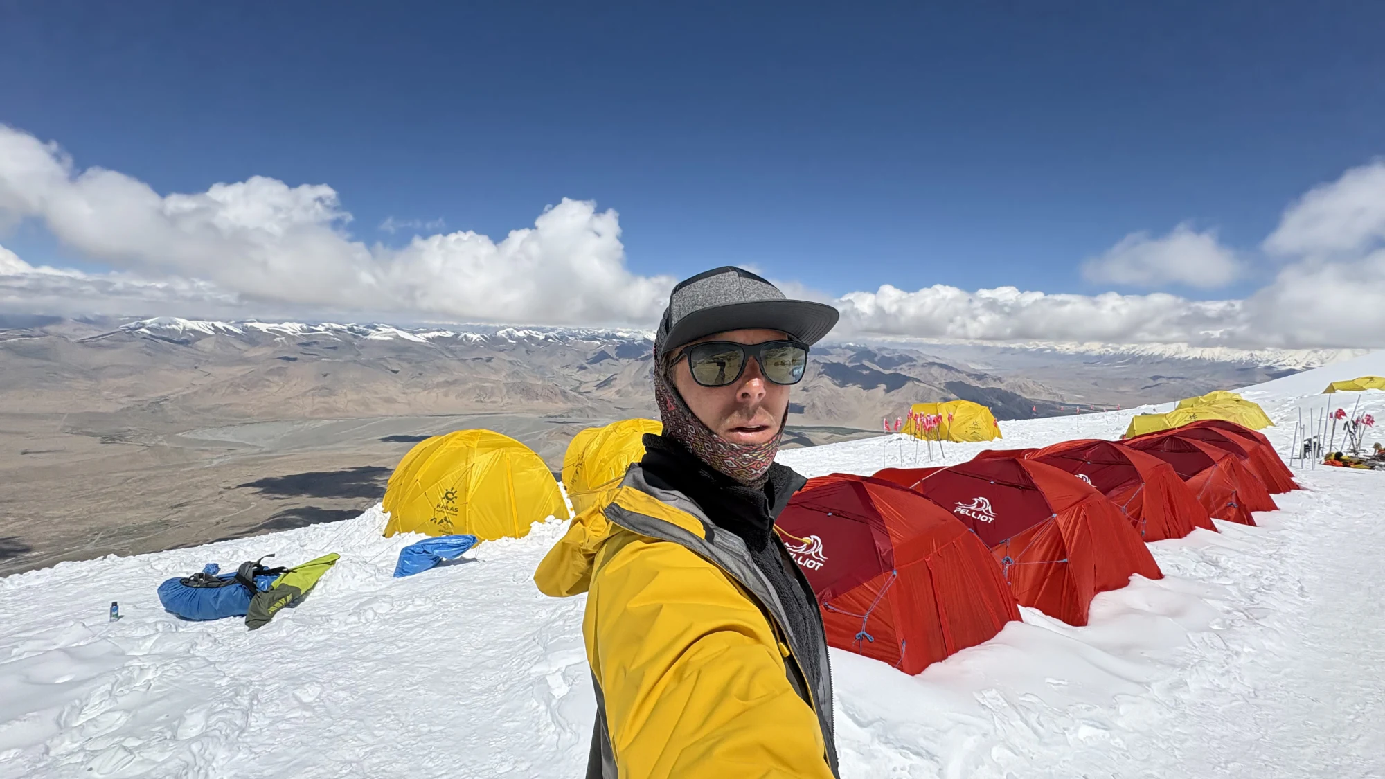
A field view of Camp 1, where teams stage equipment and continue acclimatization before moving higher toward Camp 2.
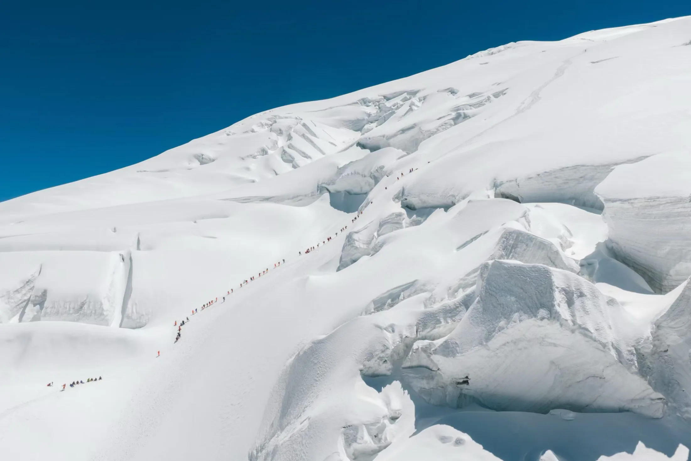
From Camp 1, the route climbs snow and ice through the most complex glacier section of the normal route. Crevasses and a steeper glacial ‘valley’ lead to a shelf around 6,100 metres, where Camp 2 is commonly placed. Teams often make several rotations here, using load carries to build acclimatisation before committing higher.
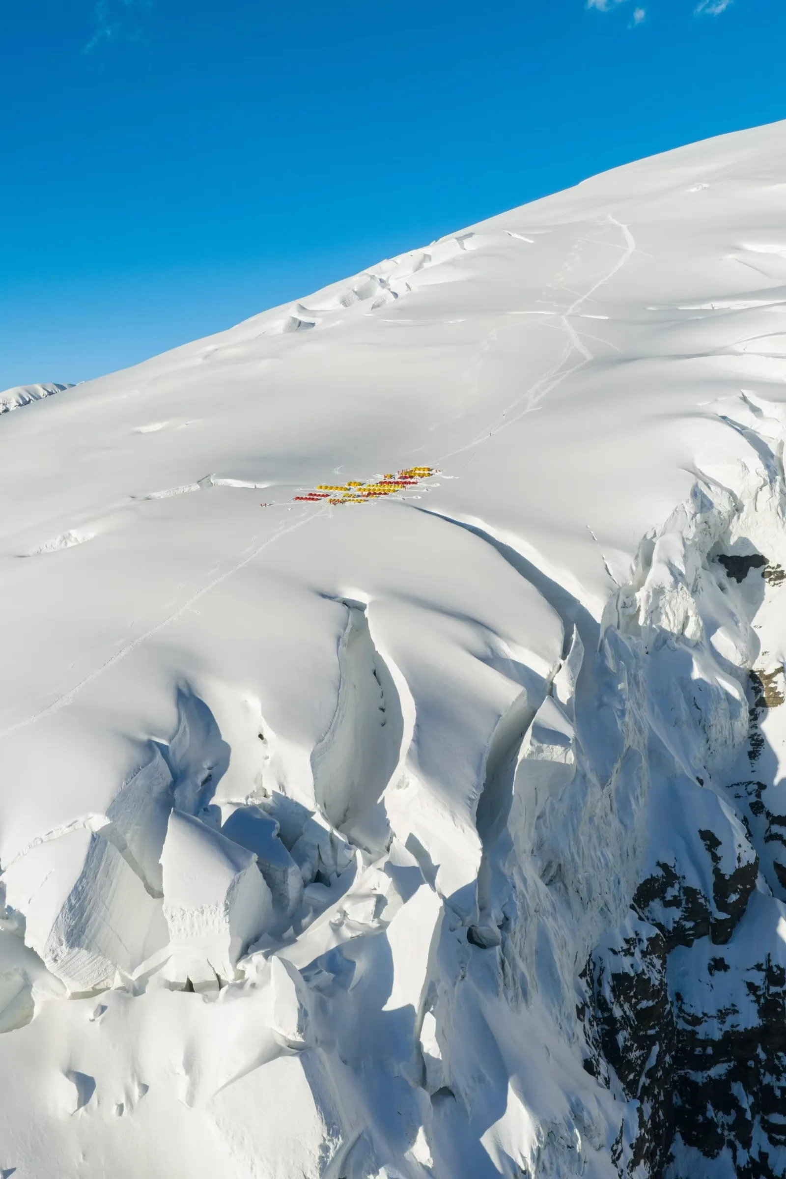
A distant field view of Camp 2 at roughly 6,100 metres, set on a small glacier shelf above the steepest section of the route.
The upper camp can be placed around 6,450 metres as a Camp 2.5 or nearer 6,800 metres as Camp 3. Snow, wind exposure, tent platforms, group speed, and the intended summit strategy all influence the decision. Above it, the mountain rises in a long, gradual slope before flattening toward the summit rocks.
Camp field notes
Life above the snowline.
Scroll to explore →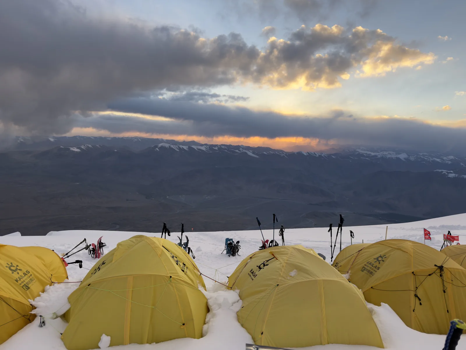
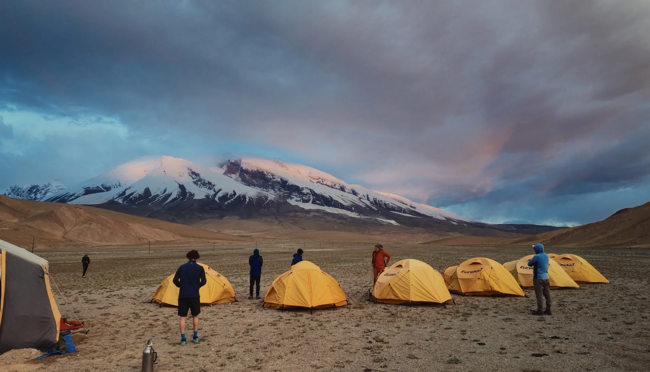
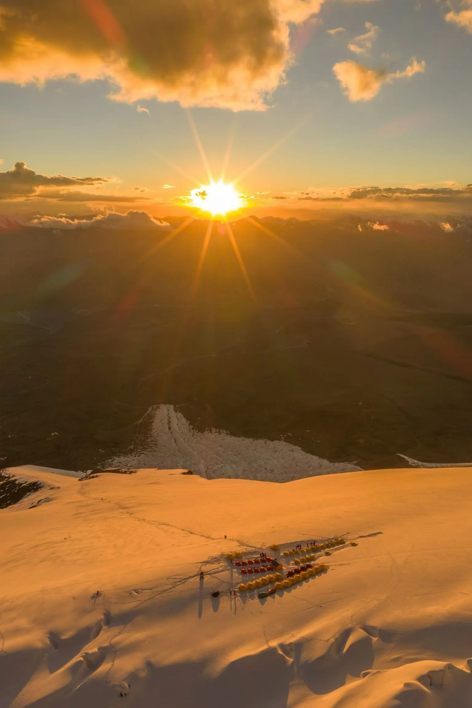
Evening light settling across the tents and the Pamir horizon.
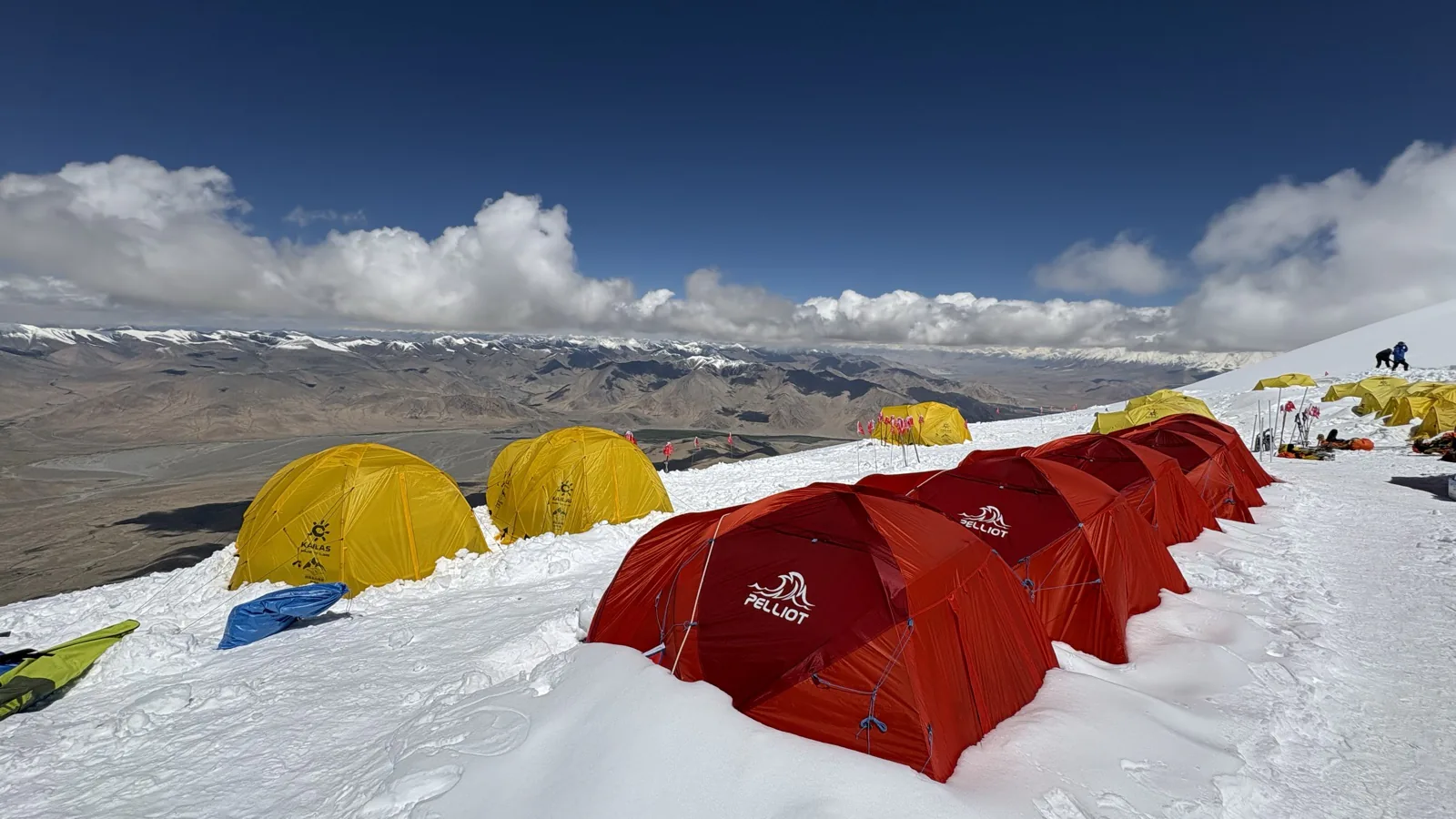
A high camp set on the open snow slope above the plateau.
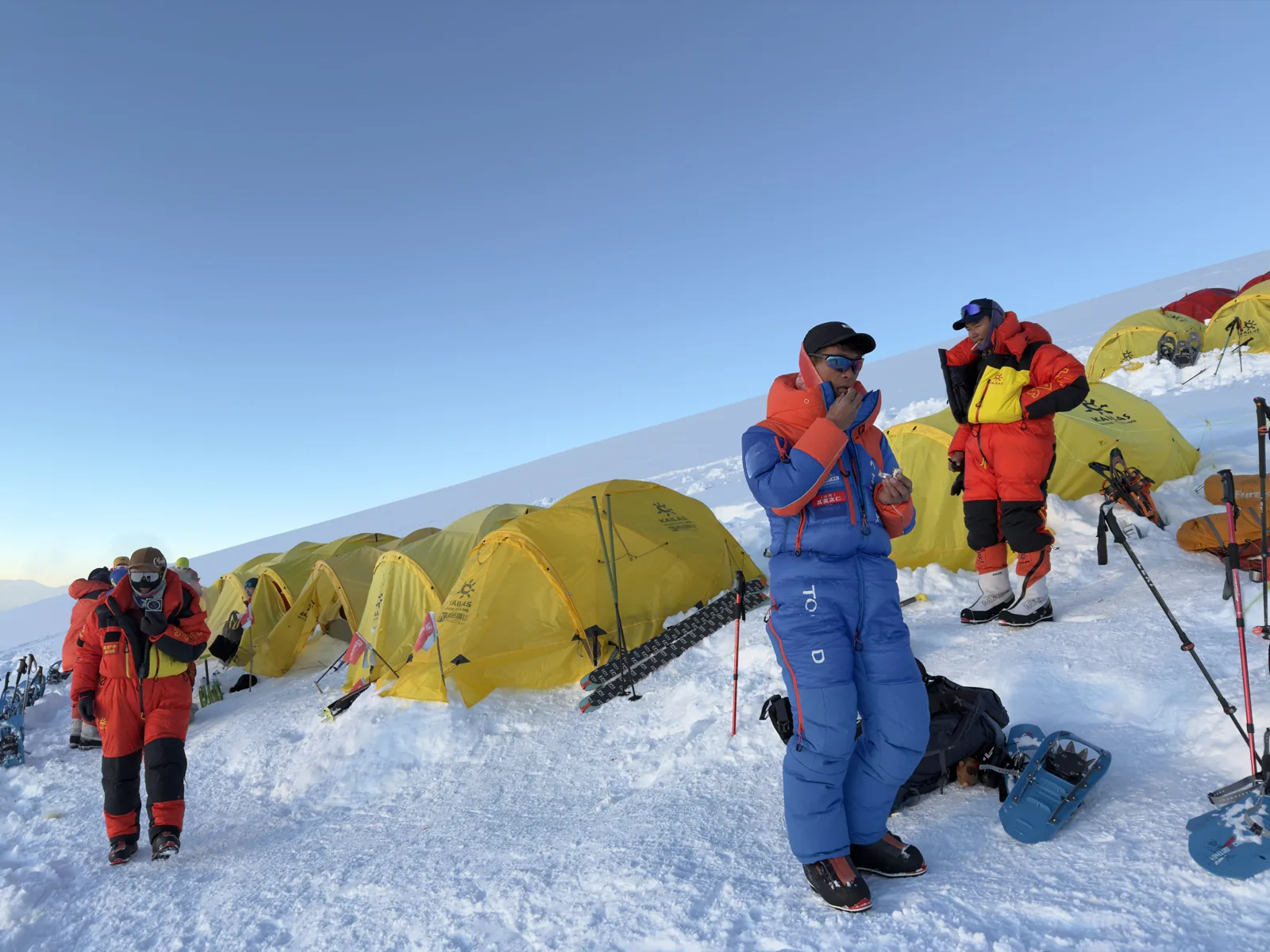
Equipment checks and final preparation between camp rotations.
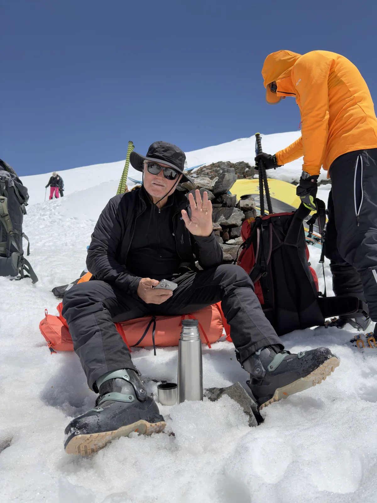
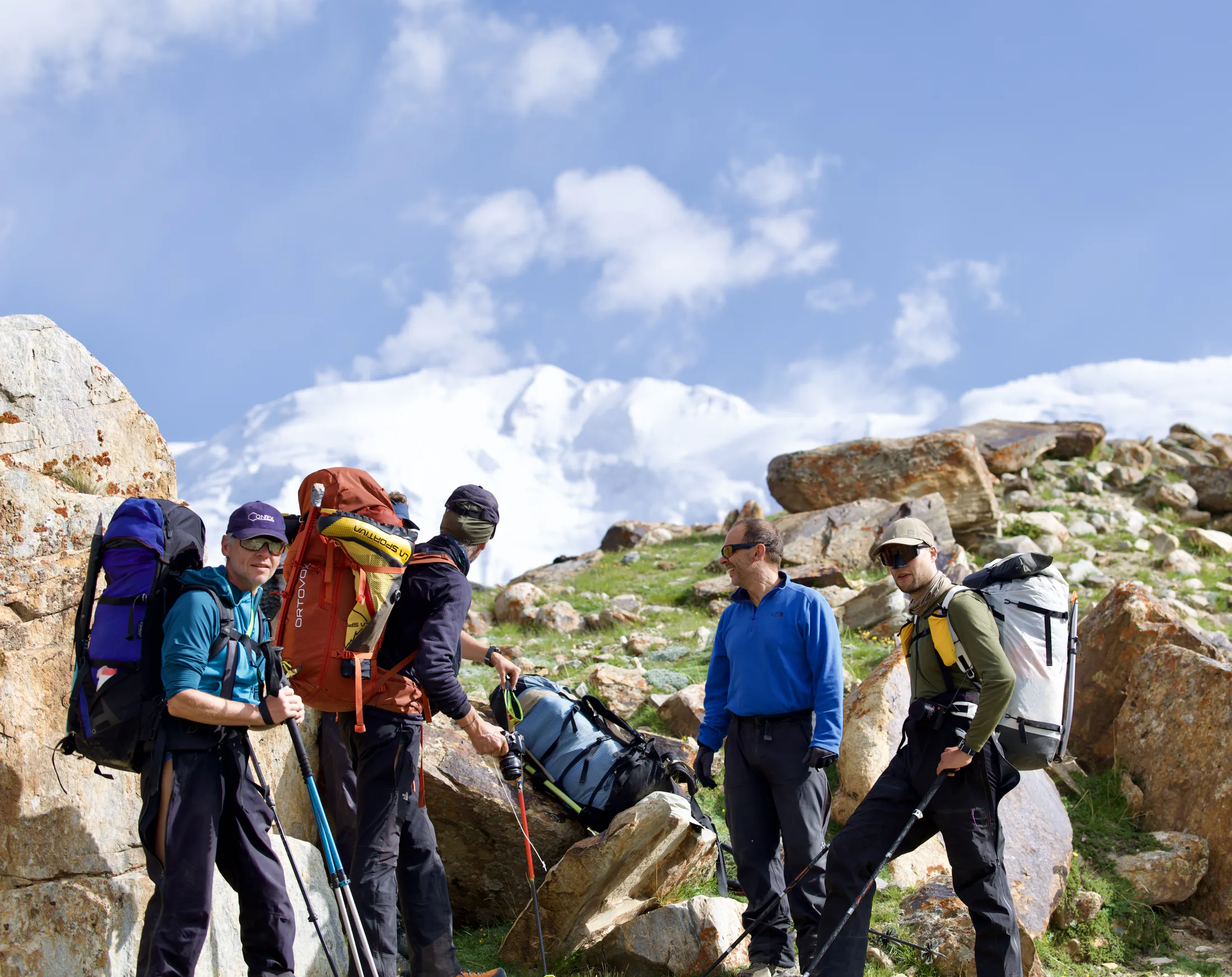
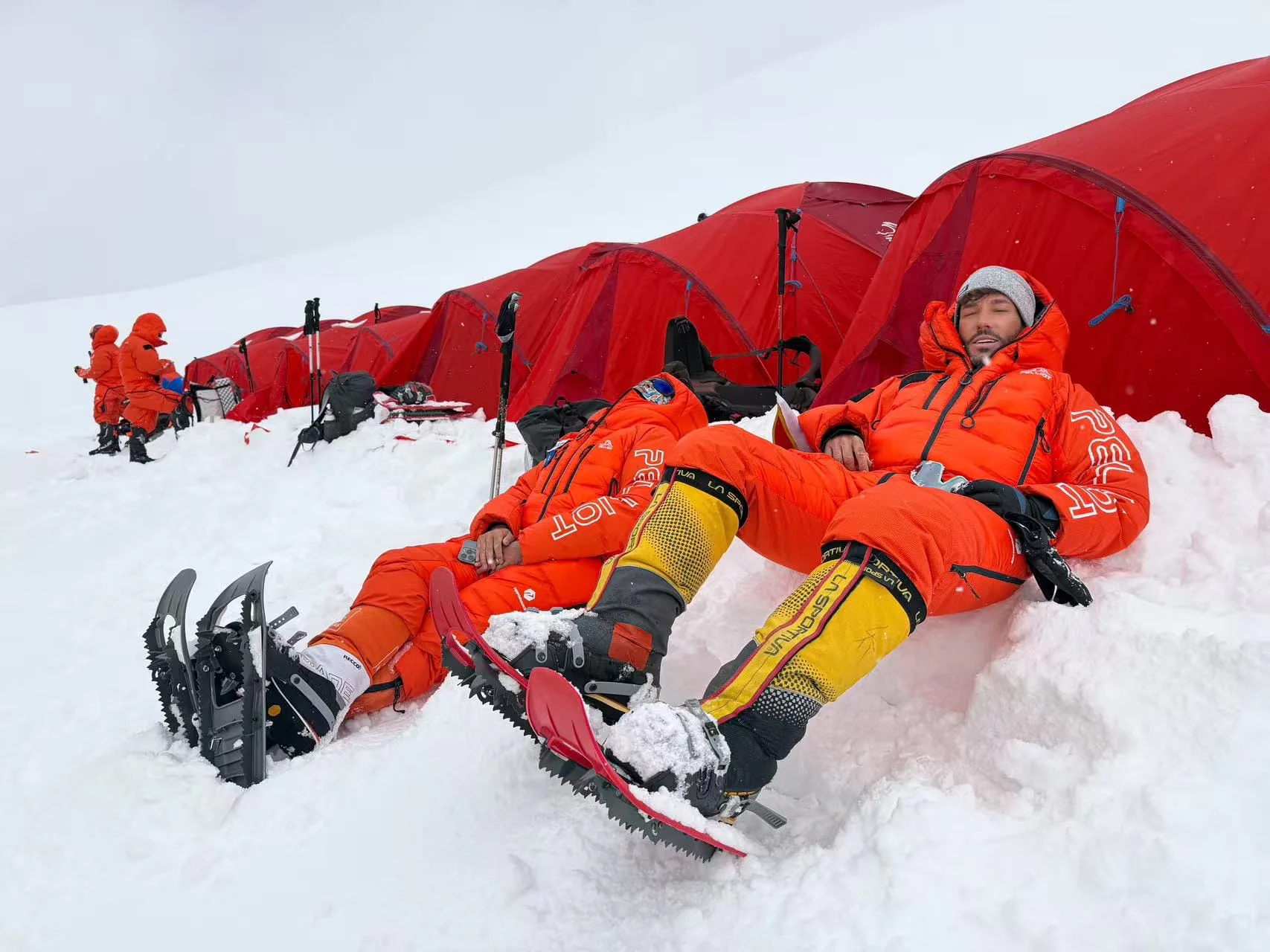
A short rest for hydration and equipment adjustment on the route.
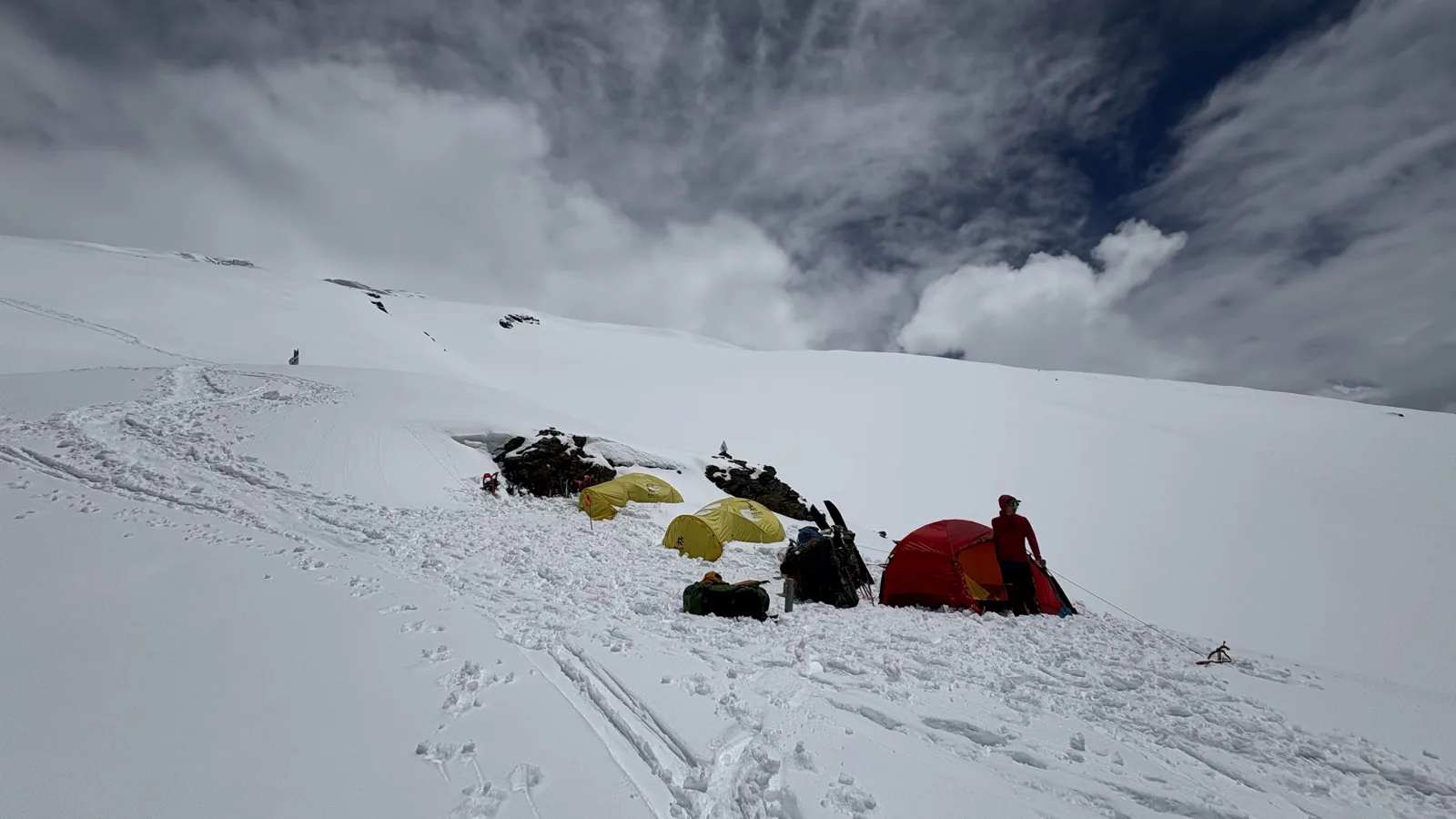
A compact camp platform shaped into the mountain slope.
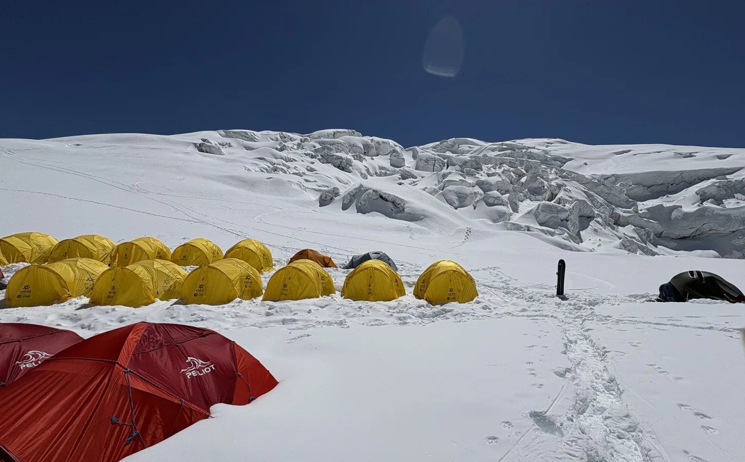
Tents and travel lines beneath the broken upper glacier.
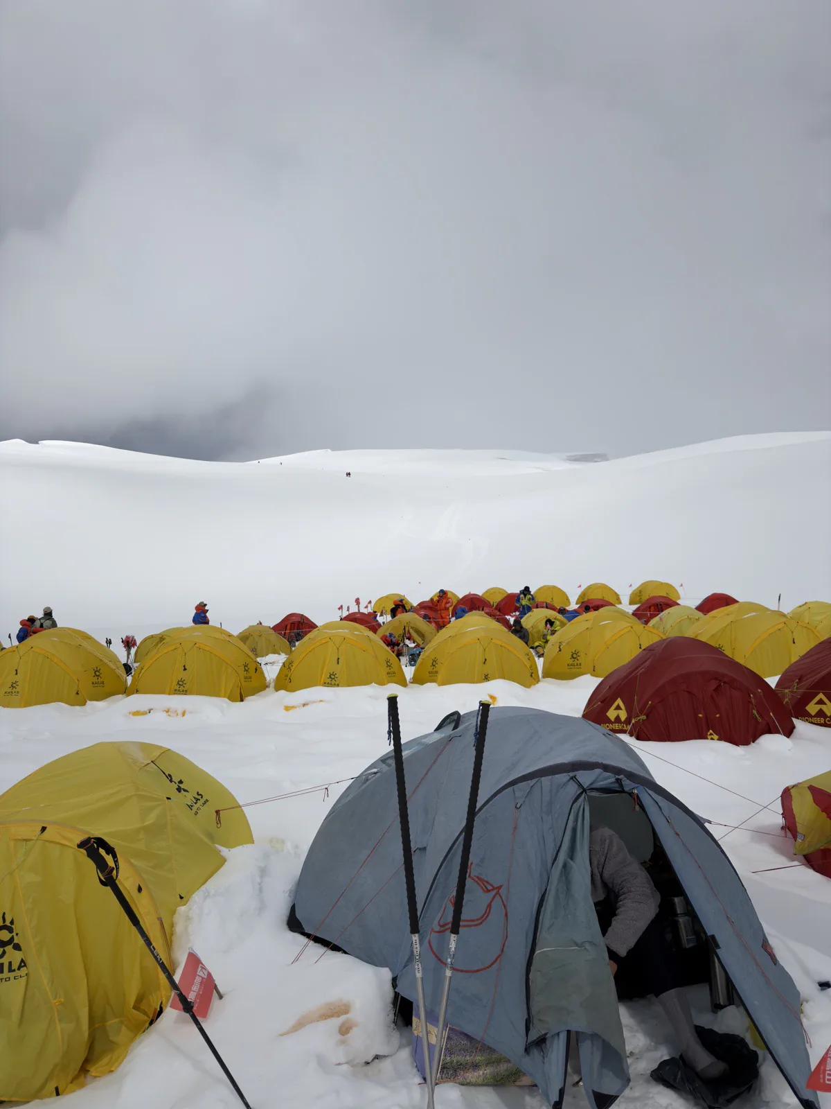
Low cloud closing around a busy tent field on the snow.
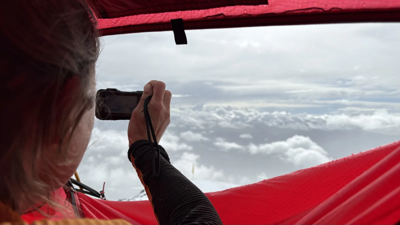
Reading the cloud line from shelter before the next movement.
Access
International access
Kashgar is the working gateway for Muztagh Ata. Most international teams arrive through a major Chinese hub and continue by air, while some itineraries approach overland through Kyrgyzstan. The latter can add useful acclimatisation time, but it also introduces border schedules, mandatory transfers, and more moving parts.
Torugart and Irkeshtam have both been used for cross-border approaches. Their procedures, opening status, vehicle requirements, and eligibility can change, so an overland plan should never be built from an old trip report alone. Confirm the exact crossing and Chinese-side reception before buying non-refundable travel.
Access
Reaching Kashgar
Domestic flights connect Kashgar with Urumqi and other major Chinese hubs. Rail is also possible for teams already travelling in China, but the distances are substantial. For most expedition schedules, flying into Kashgar protects more time for equipment checks, permit work, and recovery before moving onto the plateau.
Do not treat a published flight list as permanent. Routes change by season, and international services can be especially irregular. A sound expedition itinerary includes enough margin for delayed baggage, an additional night in Kashgar, and any administrative step that must be completed in person.
Climbing strategy
Expedition styles
The right operating style depends on experience, independence, and how much infrastructure the team wants to manage. Muztagh Ata can support very different approaches, but every style still sits inside local permit and access requirements.
- Supported expedition — fixed logistics, Base Camp services, local coordination, and a structured acclimatisation plan. This is the usual choice for a first 7,000-metre expedition.
- Independent or alpine-style team — climbers carry more of their own equipment and manage camp, movement, and safety systems themselves. It requires proven high-altitude judgment and self-rescue capability.
- Ski or snowshoe ascent — skis can make the descent exceptional when snow coverage is suitable; snowshoes are a practical alternative later in the season. Glacier skills remain essential in either case.
Climbing strategy
Eligibility and age
The supplied field record lists a standard permit range of 18 to 65 years. Older climbers may be considered with exceptional experience and suitable medical documentation, while minors should not assume eligibility. These are administrative guidelines as well as risk controls, and they must be checked for the intended season.
Age alone does not establish readiness. A prospective climber should be able to demonstrate sustained endurance, glacier movement skills, prior altitude exposure, disciplined self-care, and the ability to make conservative decisions when a summit is close. A medical assessment should be completed with a clinician who understands high-altitude travel.
Climbing strategy
Season and weather
The normal operating window is generally described as mid-June to late August. Earlier departures can find deeper snow and more demanding trail-breaking; later conditions may expose harder surfaces and wider crevasses. Ski teams often value earlier snow coverage, while snowshoe teams may prefer a more consolidated route.
There is no reliably ‘easy’ month at 7,546 metres. Jet-stream winds, fresh snow, cold, and poor visibility can interrupt rotations or close a summit window. Plan enough days for acclimatisation and weather, then accept that the mountain—not the flight home—sets the final timetable.
Base Camp
Base Camp facilities
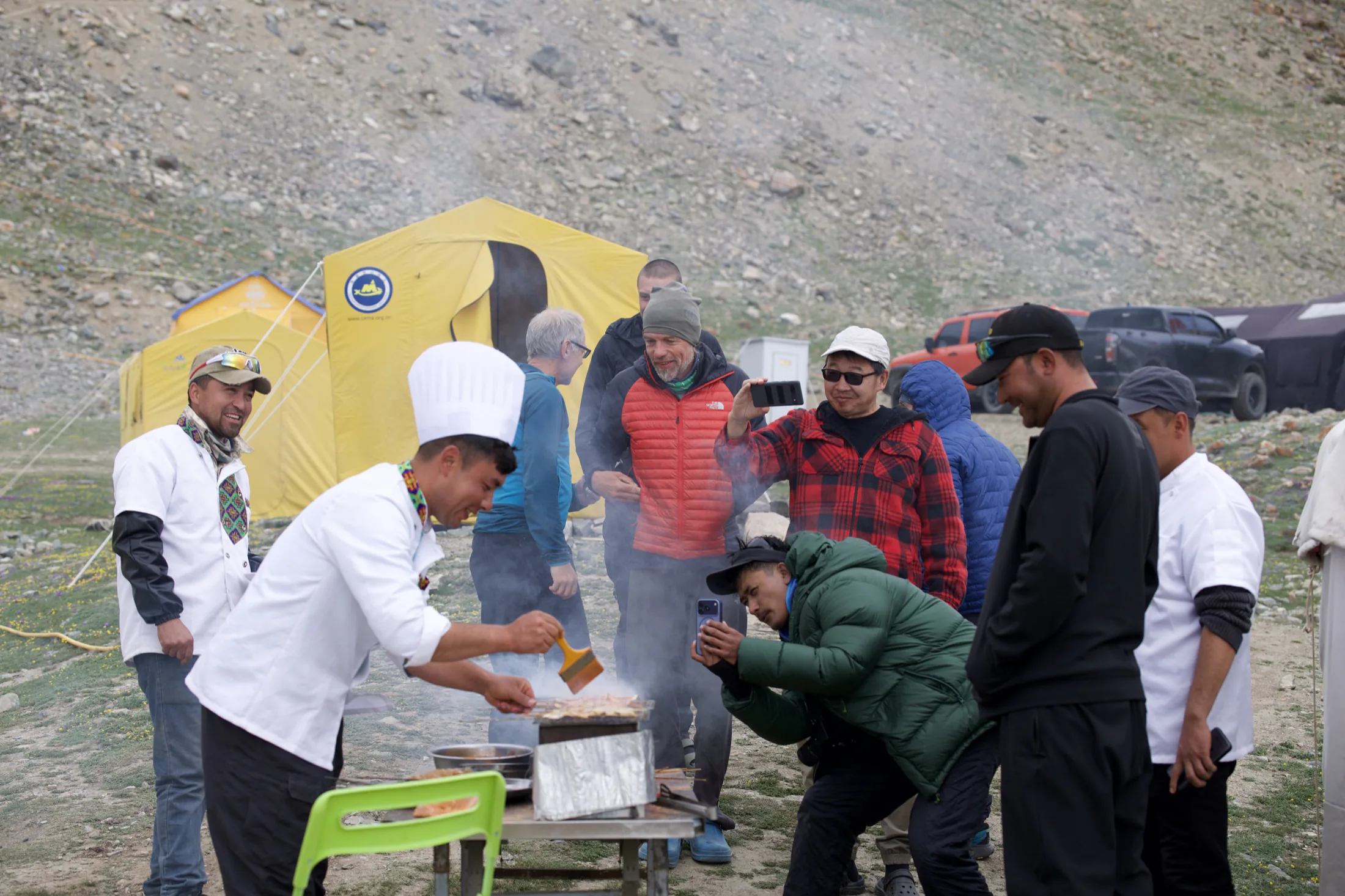
Base Camp is normally established around 4,400 metres as the operational centre of the expedition. Sleeping tents, dining and storage space, toilets, communications, medical supplies, power, and hot water may be available depending on the operator and season. This is where teams rest between carries, monitor recovery, reorganise loads, and wait for weather.
The supplied service record also mentions showers, device charging, mobile coverage, internet access, oxygen and a hyperbaric chamber. These are valuable planning details, but none should be assumed without written confirmation. Ask what is included, what is shared between teams, what runs only at certain hours, and what backup exists if power or communications fail.
Base Camp field notes
Life at 4,400 metres.
Scroll to explore →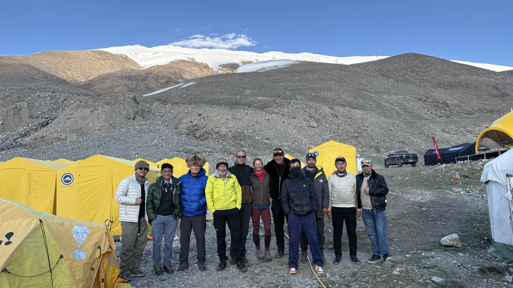
Guides, climbers, and camp staff together at 4,400 metres before the next acclimatization rotation.
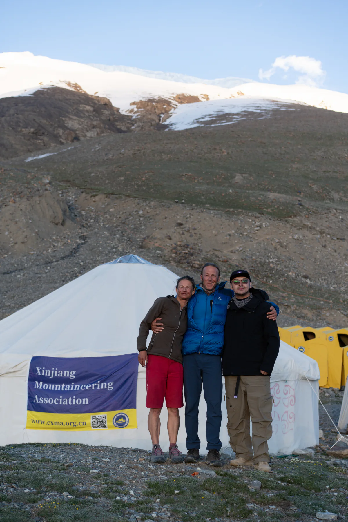
A team portrait beside the association tent, where international climbers and local support meet.
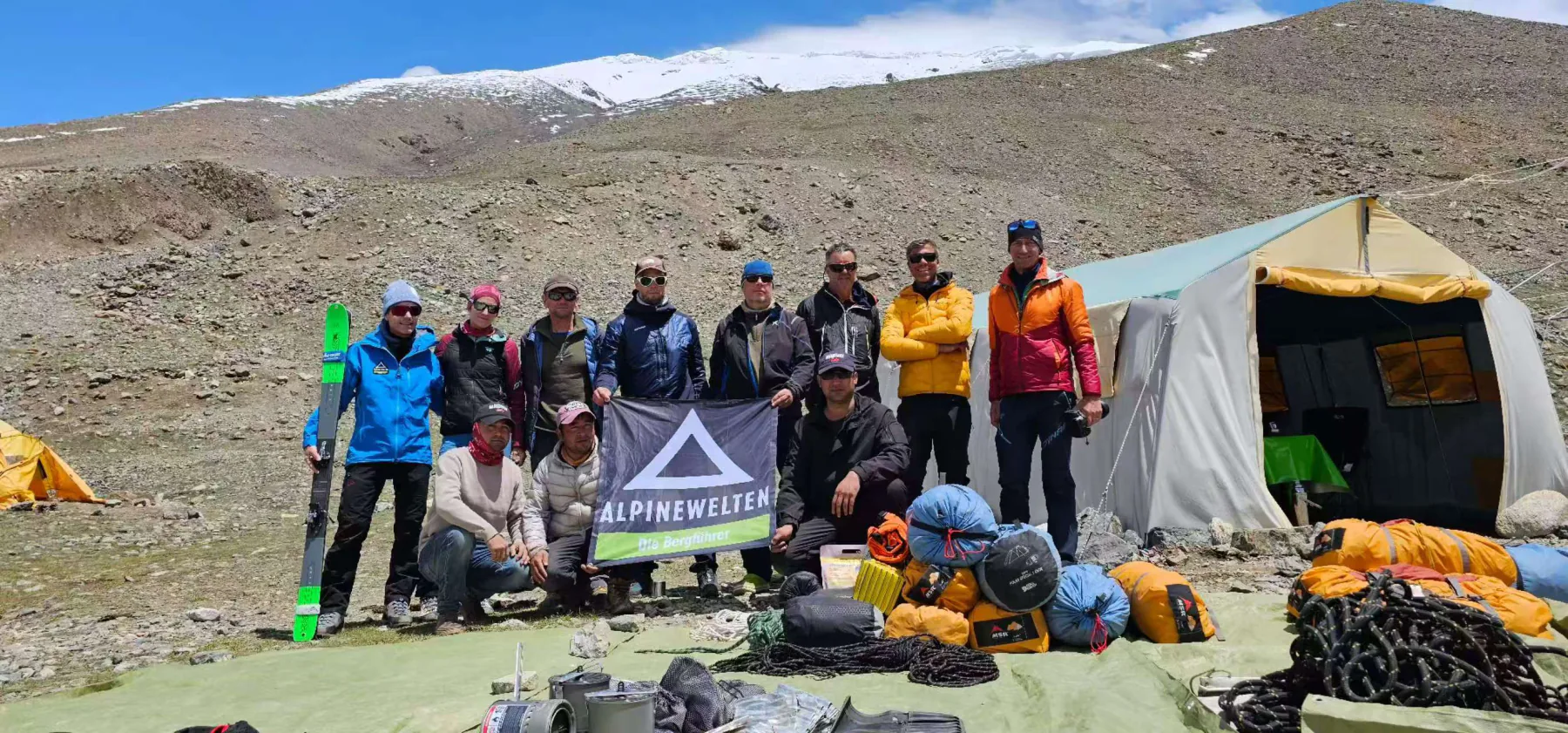
Loads are sorted and technical equipment staged at Base Camp before the team begins carrying higher.
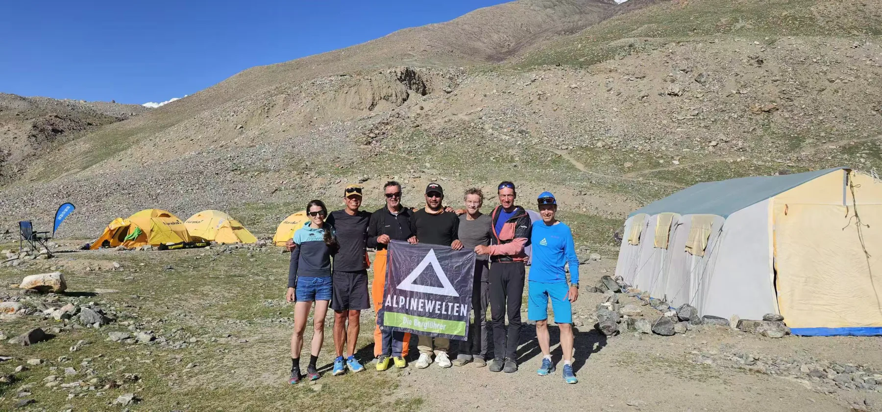
Rest days at Base Camp bring teams together between load carries and acclimatization rotations.
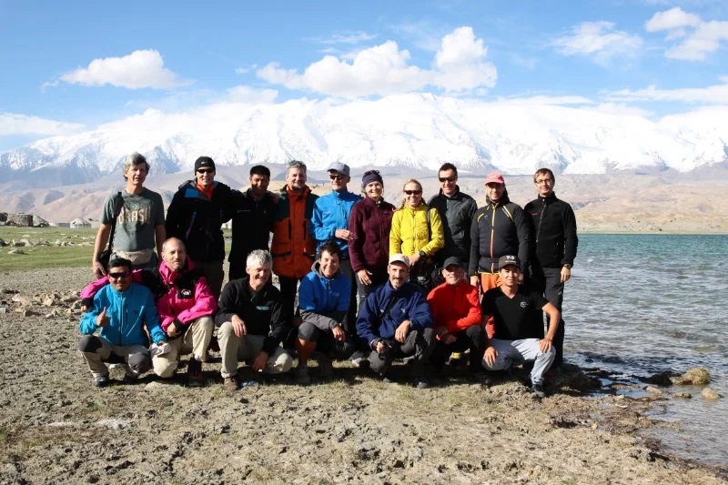
An archival team portrait on the approach to Base Camp, with Muztagh Ata rising beyond Karakul Lake.
Base Camp
Meals at Base Camp
Base Camp meals need to support hydration, recovery, and changing appetite at altitude. Typical service combines tea and coffee, breads, eggs, oats, fruit, soups, rice or noodles, vegetables, and meat or plant-based proteins. Warm, familiar food often becomes more important as rotations lengthen and appetite drops.
Share allergies, dietary requirements, and strong dislikes before the expedition. Bring personal high-altitude snacks that you already know you can eat, but do not build a nutrition plan around products that may be difficult to source in Kashgar at the last minute.
Base Camp
Included camp services
A clear inclusion list prevents confusion once the team is on the mountain. The field package records the following services as examples; availability and limits should be reconfirmed for the booked expedition.
- Hot water, instant coffee, and tea at Base Camp.
- Wi-Fi or mobile connectivity where the current camp setup permits it.
- Battery charging for personal electronics and communications equipment.
- Bamboo or marking flags for the operating team’s route work.
Permits & safety
Border-area travel permit
Muztagh Ata, Karakul Lake, and the approach corridor sit in a sensitive border region. International climbers therefore need more than a mountain objective and a Chinese visa: the expedition paperwork must also cover travel into the controlled area and the team’s climbing activity.
The local operator normally coordinates the required documents and accompanies the team through checks on the Karakoram Highway. Passport details and other sensitive documents should be shared only through the agreed secure process. Confirm deadlines early; a permit problem discovered after arrival can stop the expedition before Base Camp.
Permits & safety
Summit certification
A successful summit may be recorded through an official climbing certificate after the expedition leader verifies the ascent. The source package describes a process using summit confirmation, photographs, altitude records, and personal details, with the application submitted through the organizer.
The exported guide also lists a USD 20 processing fee and a one-to-two-week issue period. Both are time-sensitive and should be treated as historical reference until confirmed. Decide before leaving Kashgar who will submit the record and how the certificate will reach each climber.
Permits & safety
Medical and rescue support
A credible plan defines who makes medical decisions, what equipment travels above Base Camp, how high camps communicate, and how an evacuation moves from the glacier to definitive care. Oxygen, first-aid supplies, a portable hyperbaric chamber, radios, satellite communication, and a standby vehicle can form part of that system—but equipment is useful only when responsibilities and response times are clear.
Every climber needs insurance that explicitly covers mountaineering at the intended altitude and the actual rescue method available in Xinjiang. Rescue charges and exclusions should be understood before departure. Ask the operator to explain the response chain in plain language, including what happens at night, in bad visibility, or when a vehicle cannot reach the patient immediately.
Team etiquette
Staff gratuities
Tips for guides, cooks, drivers, porters, and camp staff are voluntary unless the trip agreement says otherwise. They should reflect the quality of the work, not become a hidden service charge. Ask the expedition leader whether the team prefers a shared pool or individual gifts so the process remains fair and comfortable.
Cash is often the simplest option in remote camps. More important than the amount is respect throughout the expedition: learn names, keep shared spaces orderly, communicate changes early, and remember that a summit is supported by many people who may never appear in the summit photograph.
Team field notes
The summit is shared.
Scroll to explore →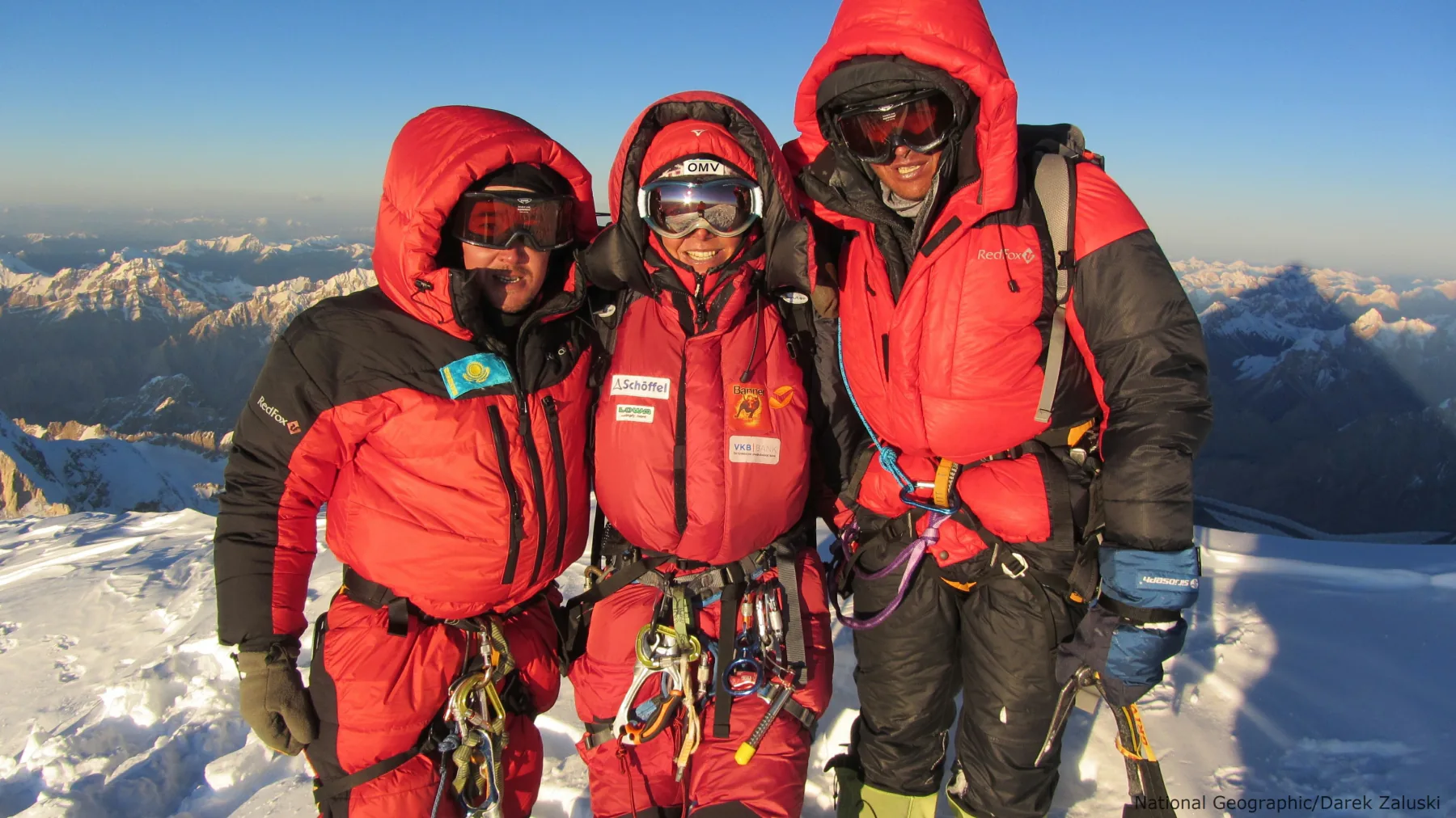
A successful summit is built on pacing, communication, and looking after the people on the rope.
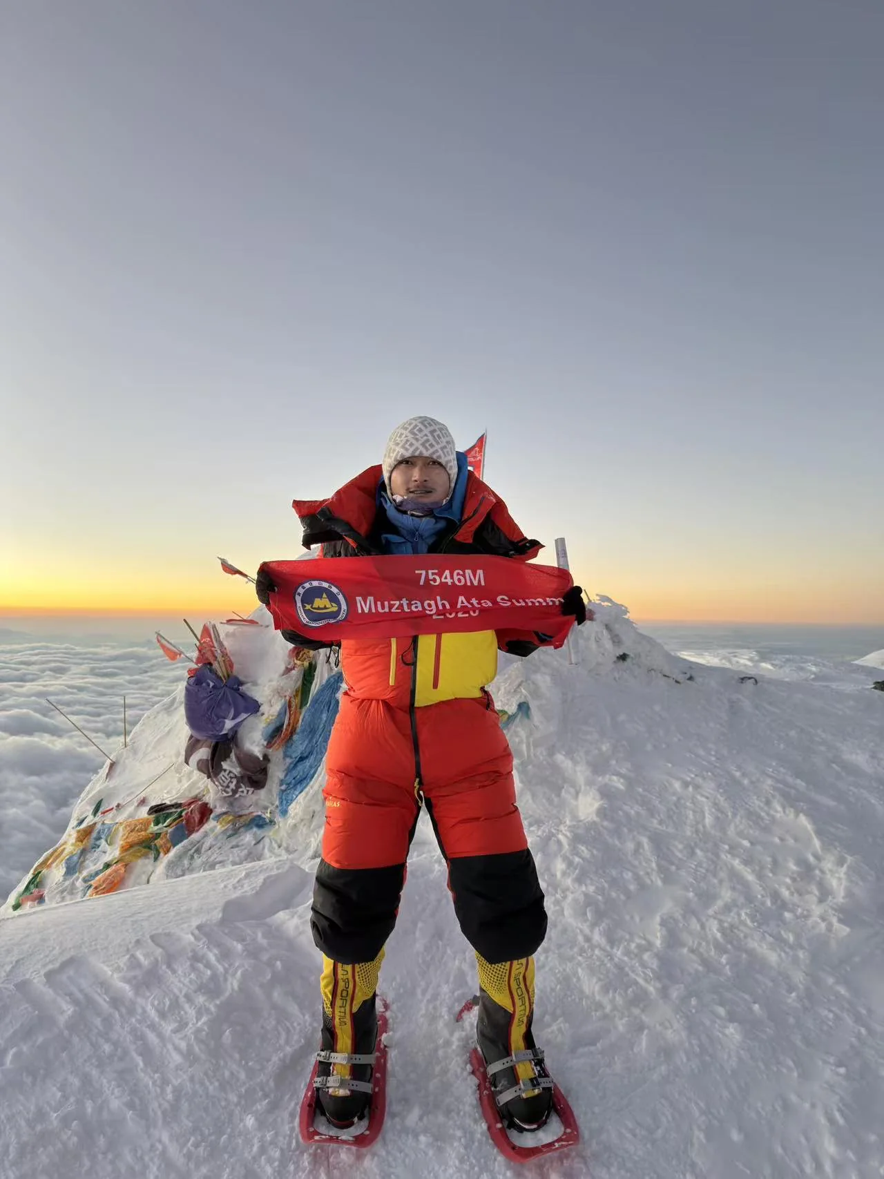
A quiet sunrise moment after the team’s work has carried through the night.
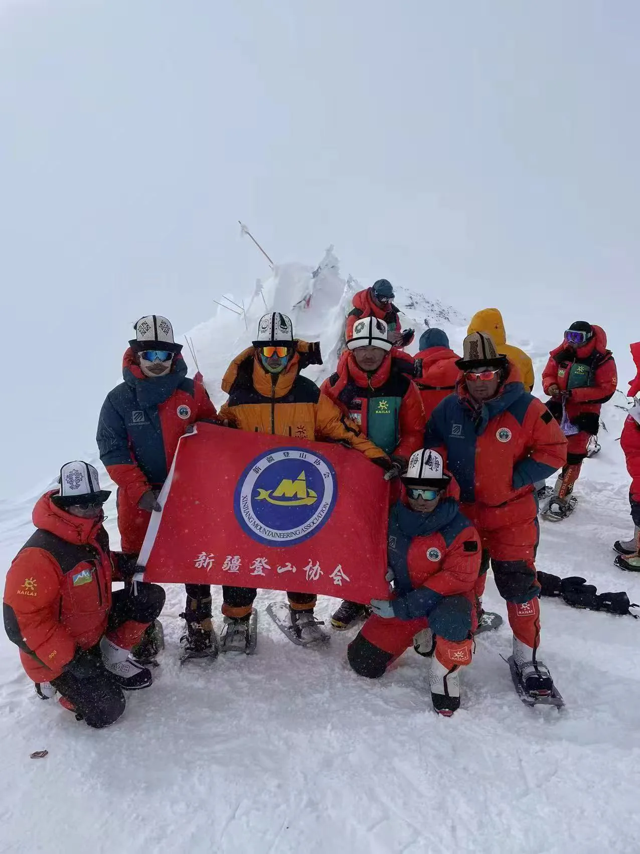
Shared responsibility matters most when visibility closes and conditions become demanding.
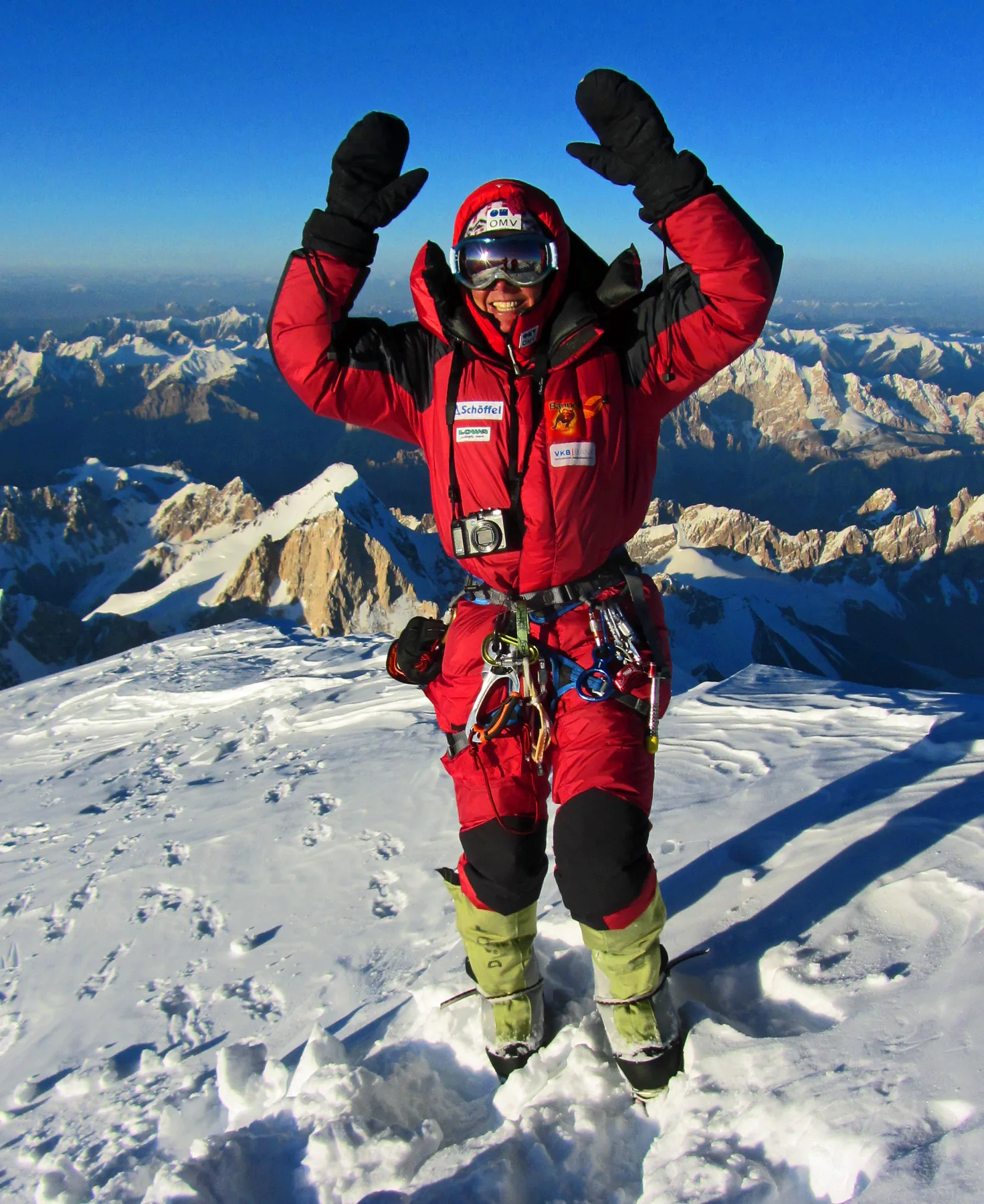
The celebration belongs to every guide, climber, porter, cook, and support member who helped make the ascent possible.